Brownsburg woman accused of beating her special needs daughter
You asked, we answered: Why doesn’t Indy have citywide curbside recycling?
Mom told police she neglected 5-year-old daughter, kept her in closet
Marion County health leader urges a return to ‘routine’ immunizations
Former Colts QB Andrew Luck shares his thoughts on Anthony Richardson
Tips and resources to help you fix your finances
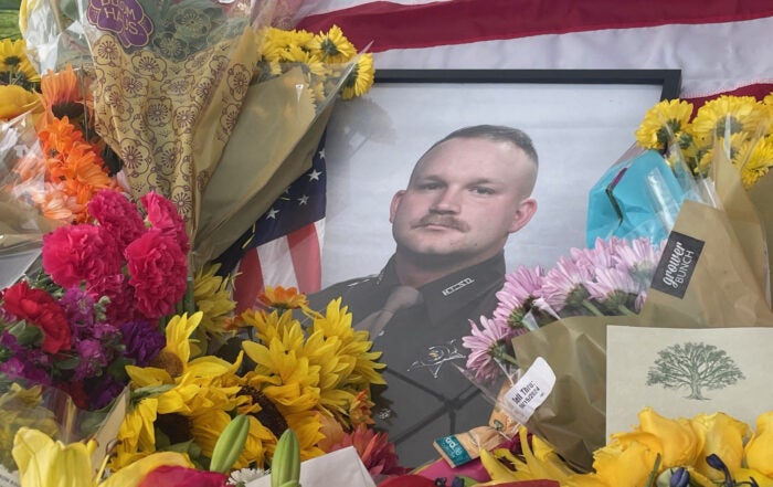
Victims identified in deadly triple shooting in Lawrence
Riley Hospital dialysis food pantry offers safe options for food-insecure families
2024 Symphony on the Prairie lineup features disco, soul, and classic rock
Where to find the highest-rated pizza places in Indianapolis