4 businesses told to move; public health lab to replace strip mall
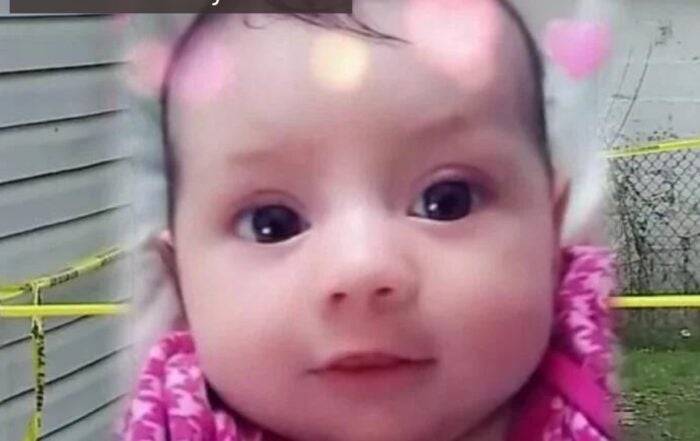
Why grandmother was charged with criminal confinement after death of 5-year-old
Caitlin Clark goes one-on-one with Anthony Calhoun
Purdue professor talks what to expect when cicadas arrive in Indiana
20-year-old sentenced to 45 years for 2021 murder at Lawrence gas station
Man accused of triple homicide had criminal record
Police: Indy man facing murder charges for Lawrence triple homicide
After 6 decades, a west side barber prepares for what’s next
‘Unacceptable’: Indiana ranks among worst in US for adults with college degrees
New mammogram recommendations for breastfeeding mothers