Active and breezy Wednesday
INDIANAPOLIS (WISH) — We had a fantastic Tuesday statewide with comfortable temperatures and lots of sunshine. However, we will turn back towards active weather for Wednesday and lingering through the remainder of this week.
Tuesday night: Cloud cover is set to increase tonight with isolated showers sliding in before sunrise.
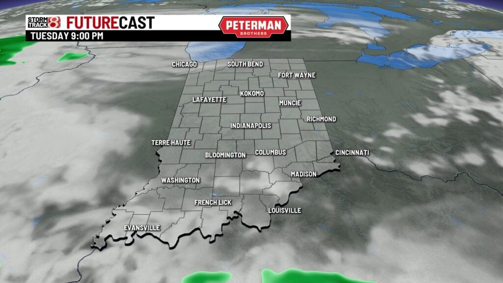


It will be a warmer night with lows falling into the upper 50s to low 60s.


Wednesday: Have the rain jacket on hand as on and off showers and storms are expected throughout the day.
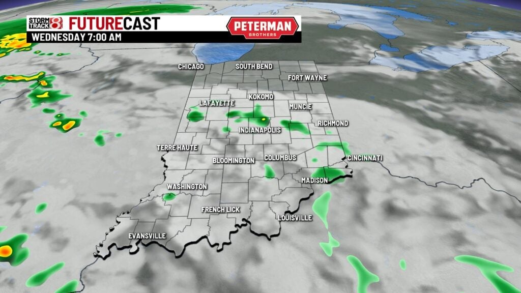


There is even the potential for isolated strong to severe storms during the afternoon and evening hours as a Marginal Risk (level 1/5) is in place for the entire state. Damaging winds and hail are the primary threats, but an isolated tornado is not out of the question. Localized flooding could occur as well.

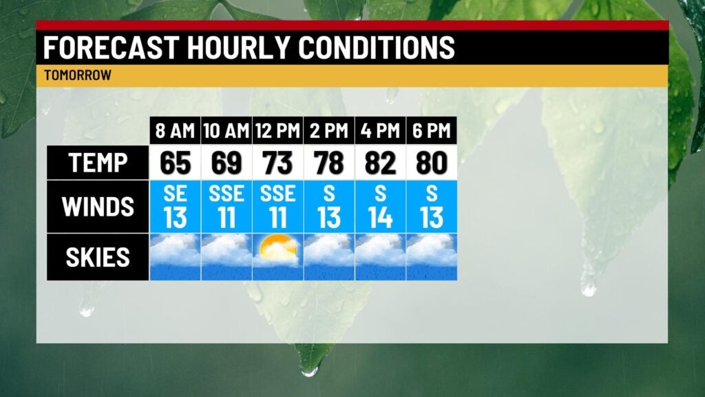
Highs will top out in the low 80s. Winds will also be breezy with gusts up to 25-30 MPH at times.

Thursday: We will practically rinse and repeat Wednesday’s weather for our Thursday, but temperatures are set to be cooler.
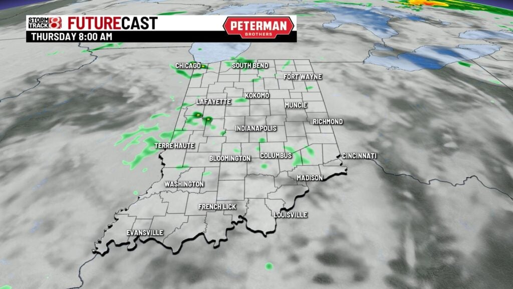


There is also the chance for isolated strong to severe storms with damaging winds and hail being the main threats.

Highs look to only rise into the low to mid 70s.

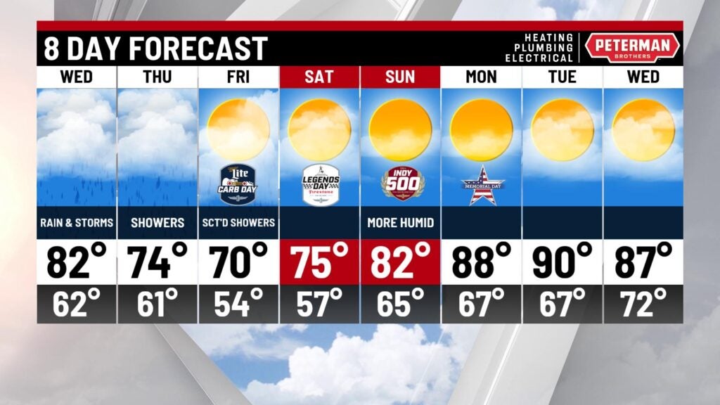
8-Day Forecast: After a wet start to our day on Friday, showers will move out before sunset. Enjoy a weekend warming trend with highs warming to the 70s Saturday and the mid 80s Sunday. Prepare for the return of heat and humidity for the Indy 500 Sunday. The hot and humid trend continues into Memorial Day.