


Active pattern this weekend

INDIANAPOLIS (WISH) — Several storm chances will play out as we head into the holiday weekend.
Saturday:
Conditions will be warm and humid across the area Saturday. The morning hours should be dry. A weak upper level wave will move through Saturday afternoon, which will spark isolated to scattered showers and thunderstorms across the area. Rain chances should hold off until after the 500 Festival Parade.


There is a marginal risk for a severe storm or two with a main concern being damaging wind and large hail.

Highs will top out in the middle 80s.

Saturday Night:
Conditions will be quiet late Saturday evening. We should see some showers moving through the area overnight – mainly for the northern half of the state.

Lows will fall to the upper 60s and lower 70s.


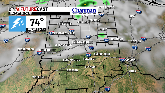
Sunday (Race Day):
Morning showers should be gone just before or around daybreak. We should stack several dry hours together for the mid to late morning and possibly into the early afternoon. We do anticipate storm development by mid afternoon into late afternoon.


With all this said, there is a window to get the race in tomorrow – even if we pick up some of the early morning rain. The concern will come from the afternoon storms, and how early they fire and where. Be aware that the chance exists for rain, but don’t cancel your plans.


Highs will top out around 80°.

Memorial Day:
There will be another round of heat, humidity, and isolated afternoon showers and storms. Highs will top out in the middle 80s.

8 day forecast:
80s will hang around to open up the work week with dry conditions Tuesday. Another round of showers and storms Wednesday/Thursday will help cool things down a bit – back to the 70s for the end of the week into the weekend.
