


Scattered mix today, much warmer Sunday
INDIANAPOLIS (WISH) — Another quick round of a wintry mix moves in to kick off the weekend. Some much needed sunshine returns for Sunday.
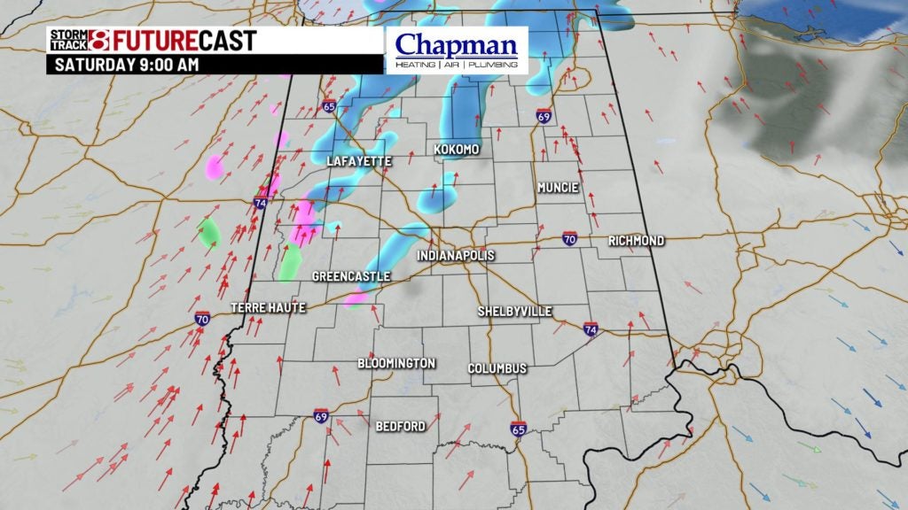
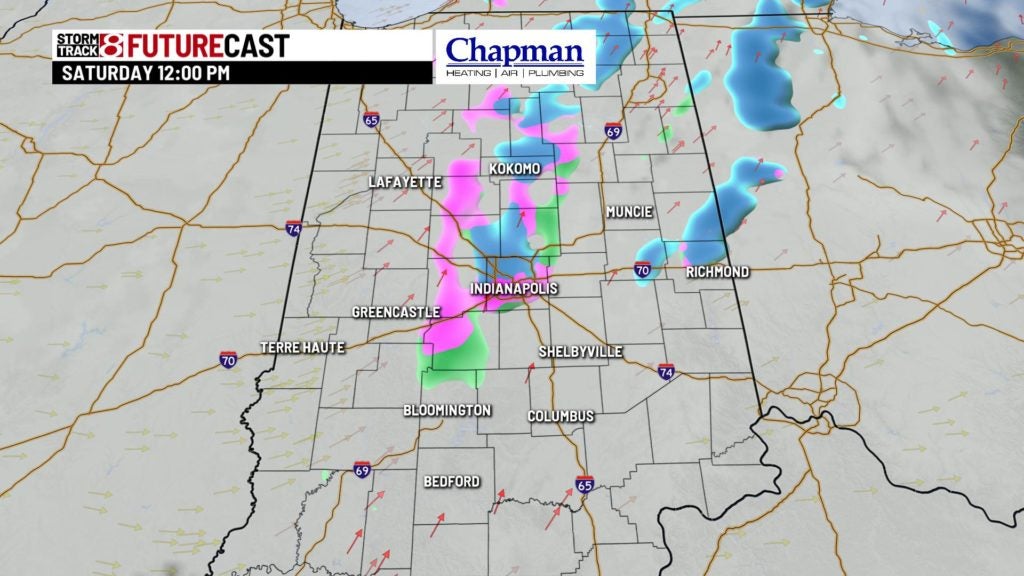
Today:
Quick moving upper level disturbance moves through the area this morning, sparking snow showers, with some rain mixing in from time to time. Little to no accumulation is expected, as temperatures will be just above freezing. System should clear the area by early afternoon.
The rest of the day is left with cloud cover with slightly above normal temperatures. Highs top out in the lower 40s later today.

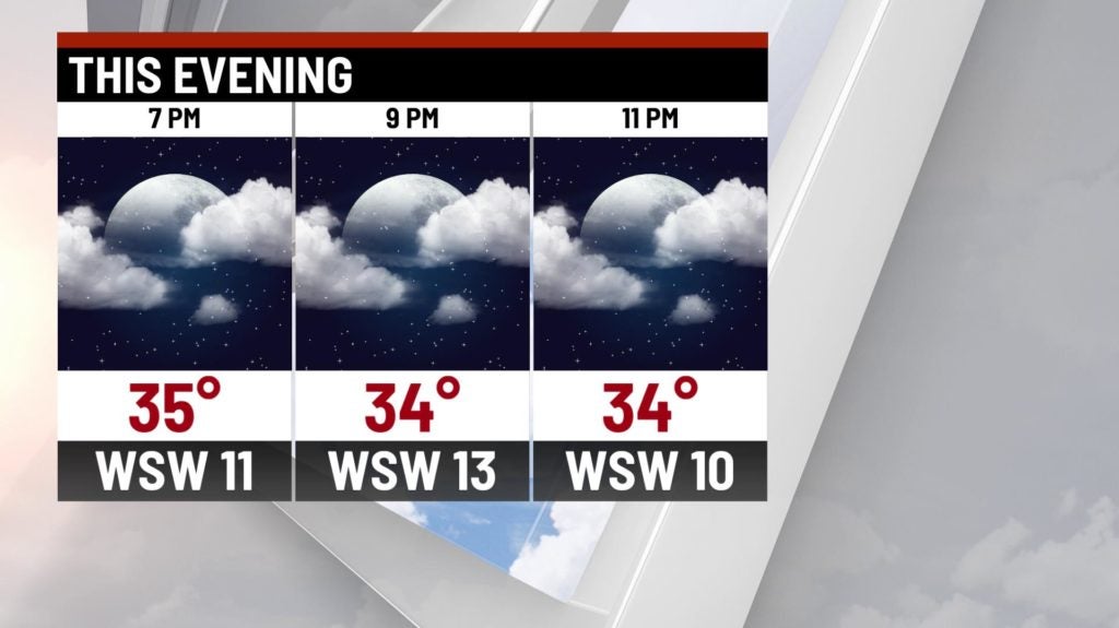
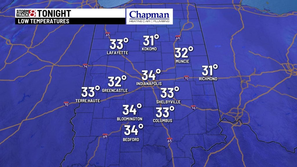
Tonight:
Clouds hang tough early, but drier air settling in should allow for gradual clearing through the overnight. Lows fall to the middle 30s.
Sunday:
Some much needed sunshine returns to close out the weekend – but the bigger story will be the Spring like temperatures. Highs should make it to the upper 50s in many locations, and several areas should crack the 60s Sunday afternoon.


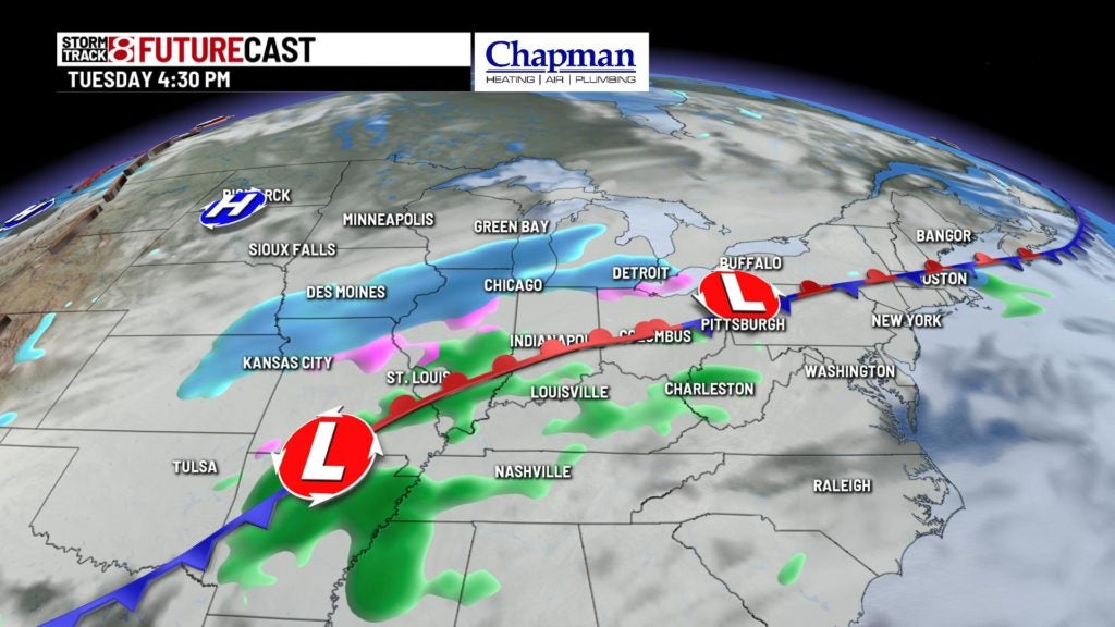
Active work week:
Another very active pattern settles in starting Monday overnight heading into Tuesday, as rain showers move in. Colder air will slide in behind the system, mixing snow with rain at times by Tuesday night into Wednesday. Rain and snow will continue in the forecast for Thursday, before changing over to all snow on Friday.

8 day forecast:
Our surge of mild temperatures starting Sunday will be short lived, as near normal temperatures move back into central Indiana starting Wednesday into the start of next weekend.

