


Severe thunderstorm roundup for May 28, 2019
INDIANAPOLIS (WISH) — Numerous severe thunderstorm warnings were issued for several central Indiana counties on Tuesday.
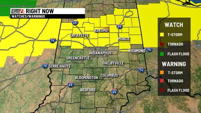
The warnings followed a storm watch issued earlier in the day.
Here are severe thunderstorm warnings that were issued in the northern half of the WISH-TV viewing area:
- A Severe Thunderstorm Warning for Howard, Madison and Tipton counties until 7:30 p.m.
- A Severe Thunderstorm Warning for Clinton, Carroll and Howard counties until 6:30 p.m.
- A Severe Thunderstorm Warning for Fountain, Montgomery and Tippecanoe counties until 6:30 p.m.
- A Severe Thunderstorm Warning for Jay County extended until 6:30 p.m.
- A Severe Thunderstorm Warning for Howard County until 6:15 p.m.
- A Severe Thunderstorm Warning for Fountain, Vermillion and Warren counties until 6 p.m.
- A Severe Thunderstorm Warning for Carroll and Howard County until 5:15 p.m.
- A Severe Thunderstorm Warning for White County until 5 p.m.
- A Severe Thunderstorm Warning for Huntington and Wabash counties until 5 p.m.
- A Severe Thunderstorm Warning for Benton County until 4:30 p.m.
- A Severe Thunderstorm Warning for Huntington and Wabash counties until 4:30 p.m.
- A severe thunderstorm warning has been issued for Howard and Tipton counties until 2:45 p.m.
The National Weather Service said the public reported about 6 p.m. that several trees were downed in Kokomo in Howard County and numerous intersections are flooded.
Also, in northeastern Indiana on Tuesday, a storm spotter near Burlington in Carroll County said hail about the size of nickels and quarters fellow around 4:30 p.m.
Watch the video for other hail reports.