Warm and muggy Saturday, storms return later
INDIANAPOLIS (WISH) — Another quick shot of muggy conditions to open the weekend. A few strong storms could be possible later this evening.
Today:
Pesky low cloud deck that has been hanging around for the past several days is still hanging tough over central Indiana. For much of the day, expect mostly cloudy conditions, although we could see a few peeks of sunshine from time to time. Highs top out in the mid 80s this afternoon.

Scattered storm chances will return by mid afternoon across portions of central Indiana.

Tonight:
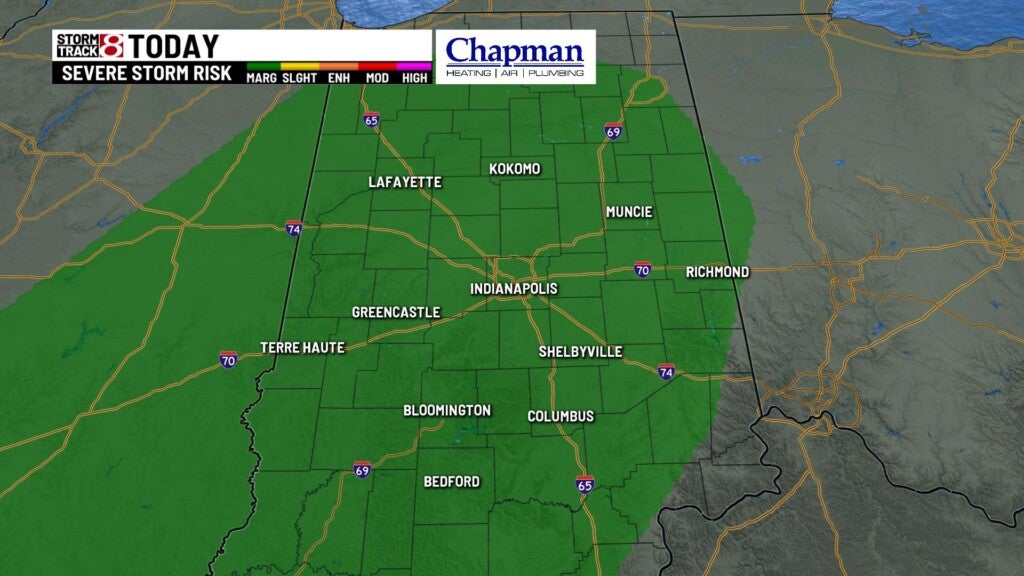
Upper level trough moving through will continue to push showers and storms into the state for the evening and overnight hours.
There is a marginal risk for severe storms this evening. Damaging straight line winds will be the primary concern – especially west of Indianapolis between 2pm-11pm.
Overnight lows fall to the mid 60s.


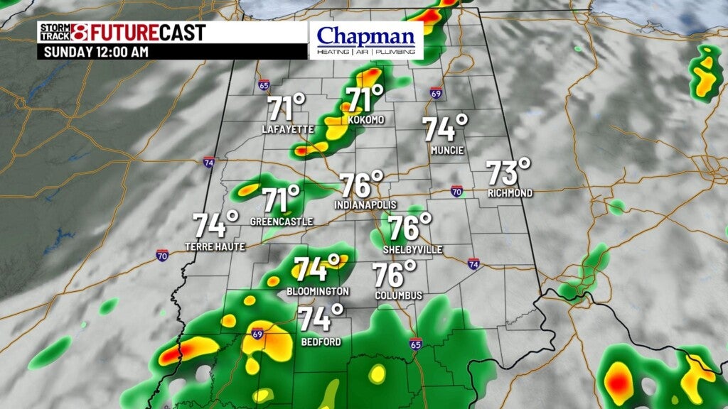
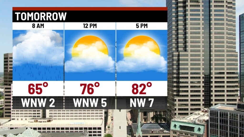
Sunday:
Scattered showers will likely be around for the early morning hours, but quickly move out, keeping us dry for the remainder of our Sunday.

We should see at least a little more sunshine as we progress into the afternoon hours. Highs top out in the lower 80s.
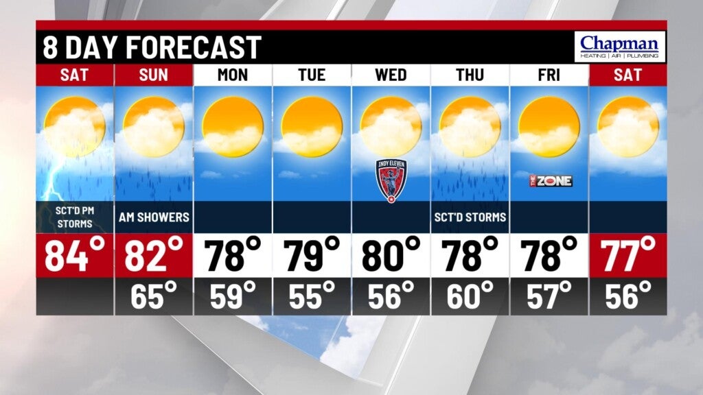
8 day forecast:
Quiet and cooler pattern settles in for much of the upcoming week. High temperatures will be near the seasonal norm of the upper 70s/lower 80s. Dry weather rules much of the week, with the exception of Thursday, when a system bring a round of showers and storms to the area.