


Dry morning, showers possible late
INDIANAPOLIS (WISH) — Cool temperatures continues as we wrap up the weekend. Even colder air with snow chances are possible later this week.
Sunday:
A sunny start to the morning is expected. Clouds will likely build later this afternoon with a weak upper level disturbance moving through. A few isolated showers will be possible late this afternoon into the evening.
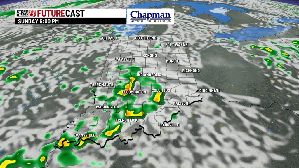
Highs should top out near 60° in most locations.


Sunday night:
Any showers should diminish late this evening, leaving us partly to mostly cloudy and quiet overnight. Lows will fall to the mid 40s.

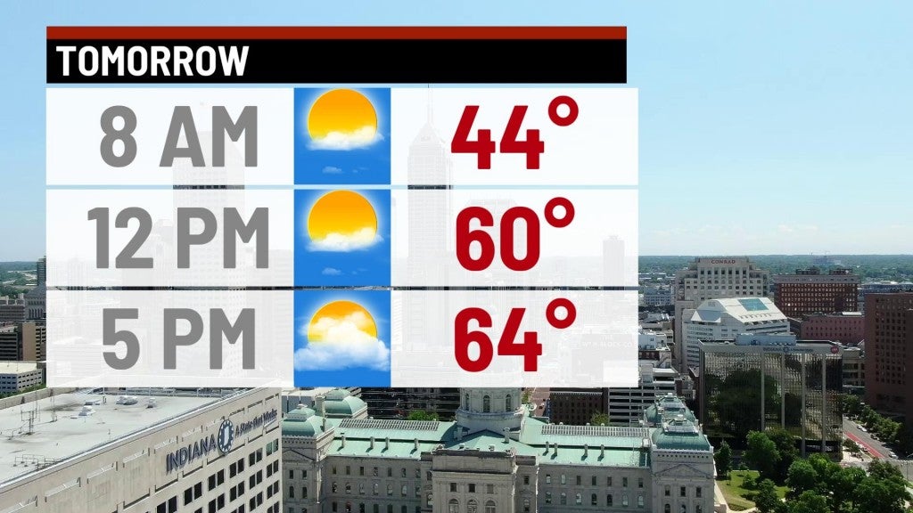
Monday:
It is looking like the best day of the week, with mostly sunny to partly cloudy conditions. Highs should run back up to the mid 60s.

8 day forecast:
A potent cold front will swing into the state on Tuesday, sparking rain showers Tuesday afternoon that will transition to snow showers for the northern half of the state by Tuesday night. While the snow could be moderate to briefly heavy at times, accumulations should be limited to grassy areas and elevated surfaces thanks in part to a warm surface temperature. Any snow that does accumulate Tuesday night will quickly melt away by Wednesday morning as the sun comes up.
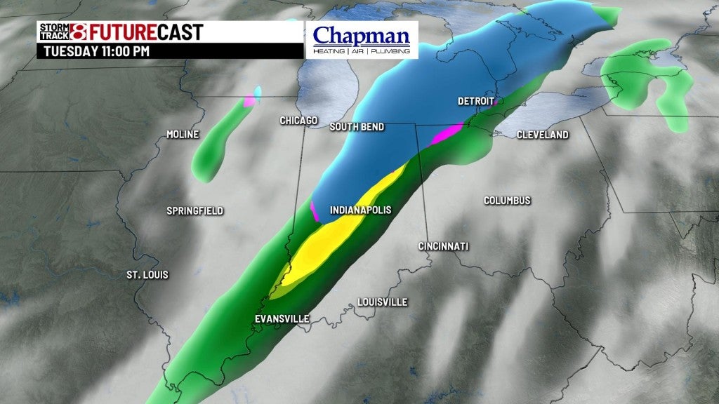

We’re also looking at near/below freezing temperatures in the wake of the system Tuesday night, and could fall to near freezing again on Wednesday night. The good news is we see a quick rebound in temperatures starting Friday, with highs back to near 60° as we head into the weekend.
