Frigid temperatures settle in
INDIANAPOLIS (WISH) — The coldest air in quite some time has moved into the state, making for a frigid couple of days across central Indiana.
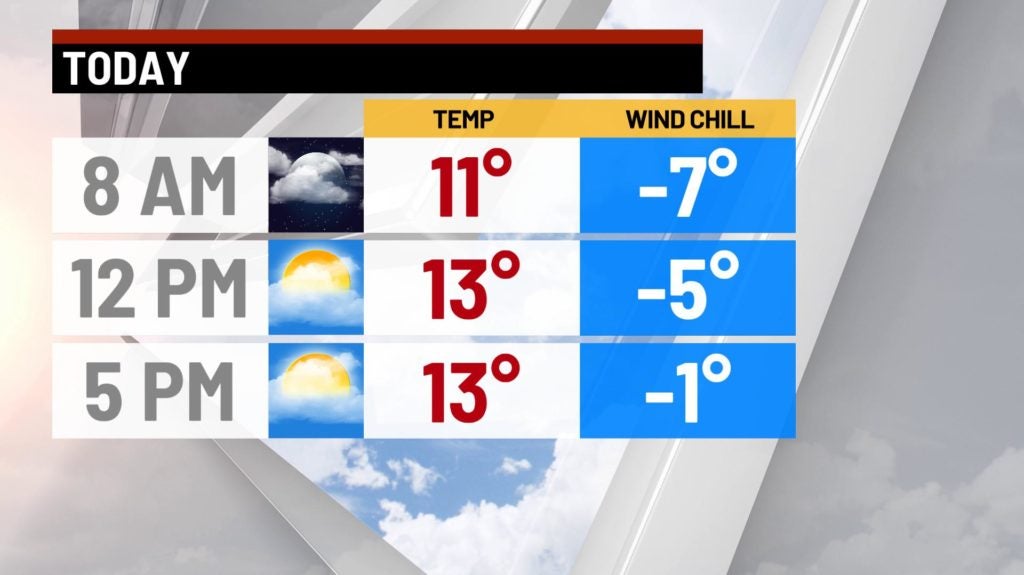
Sunday:
A few flurries will continue to fly across portions of the area this morning. Expect those to fade by mid morning, leaving us mostly cloudy for the rest of the day.
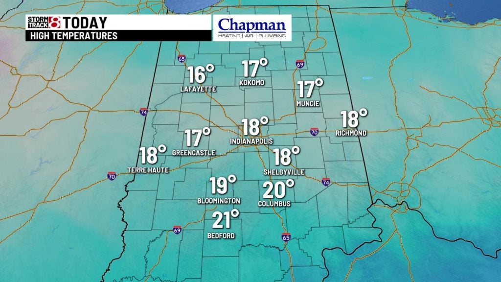
Meanwhile, blustery winds combined with the bitter cold air should make for wind chills hover near 0° for much of the day. High temperatures only top out in the middle to upper teens this afternoon.

Sunday Night:
Conditions will be mostly cloudy with near steady temperatures overnight. Winds should relax a bit, making the wind chills less harsh leading into Monday morning.

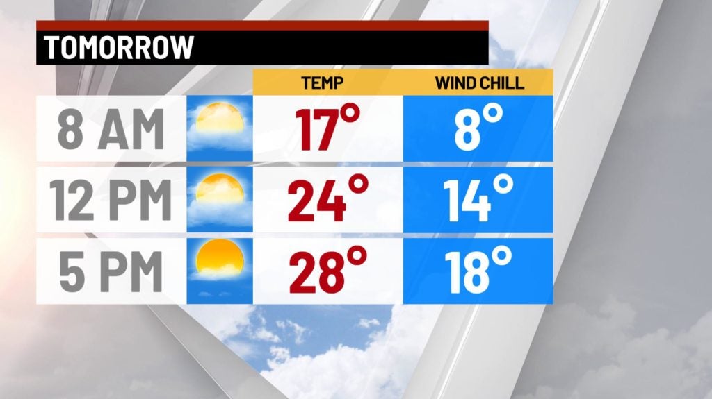
Monday:
Some clouds will be hanging around early should push out by late morning, allowing for much more sunshine heading into the afternoon. As a result, we should warm up a bit, but still below average, with highs in the middle to upper 20s.
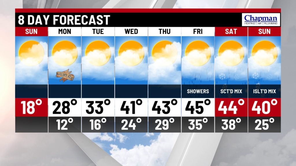
8-Day Forecast:
It will be a relatively quiet work week, with a gradual warm up starting Wednesday, as highs return to the 40s. Next system of interest moves in Friday into the weekend, bringing mostly rain on Friday, and a scattered mix of rain and snow possible Saturday and Sunday.