Heat advisory, possible strong storms Sunday
INDIANAPOLIS (WISH) — Hot and humid conditions will help to fuel a few strong storms later Sunday afternoon.
Today:
Muggy start to the day. We’ve been keeping an eye on a few light showers in central Illinois this morning that may work into parts of western Indiana later this morning. The main event for storms will come along a cold front this afternoon. There is a slight risk for severe storms across much of the state. The main concern will be damaging wind, with some hail possible as well.


Expect storms to arrive by mid/late afternoon hours. The severe threat should wind down heading into the evening.

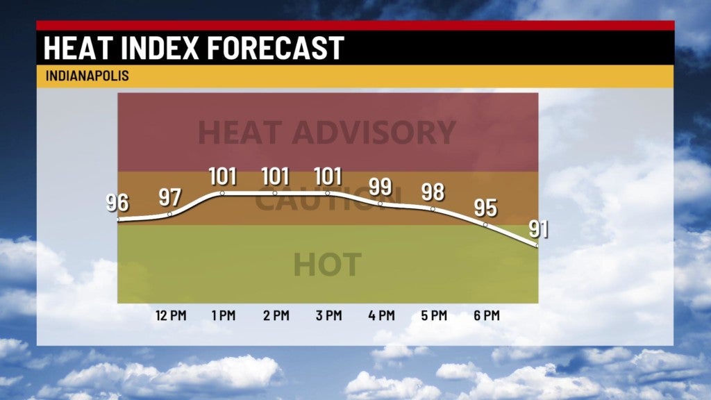
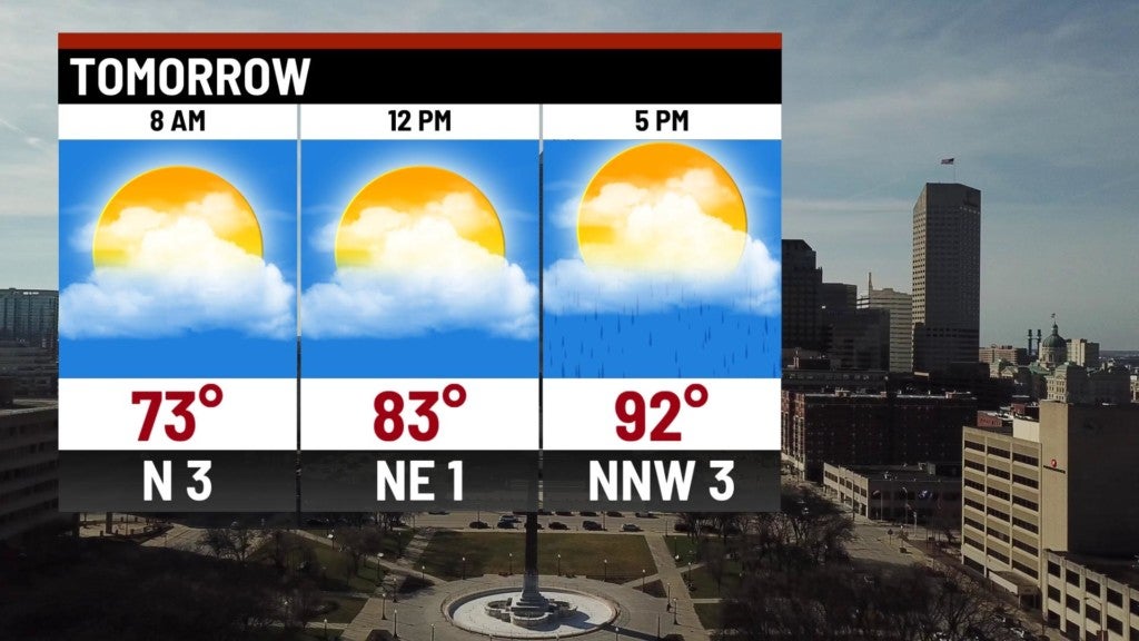
Meanwhile, a heat advisory is in effect until 8 pm. temperatures will run to the middle 90s. With high humidity, our heat indices will be over 100° for much of the afternoon.


Tonight:
Scattered showers and storms should begin to wind down as we head into the overnight. Nearing daybreak, previously mentioned cold front should lift back north, causing a few scattered showers and storms in our southern counties.

Lows fall to the lower to middle 70s.

Monday:
Hot and humid weather continues. A few storms may be possible – especially south of I-70. Highs top out in the lower 90s.

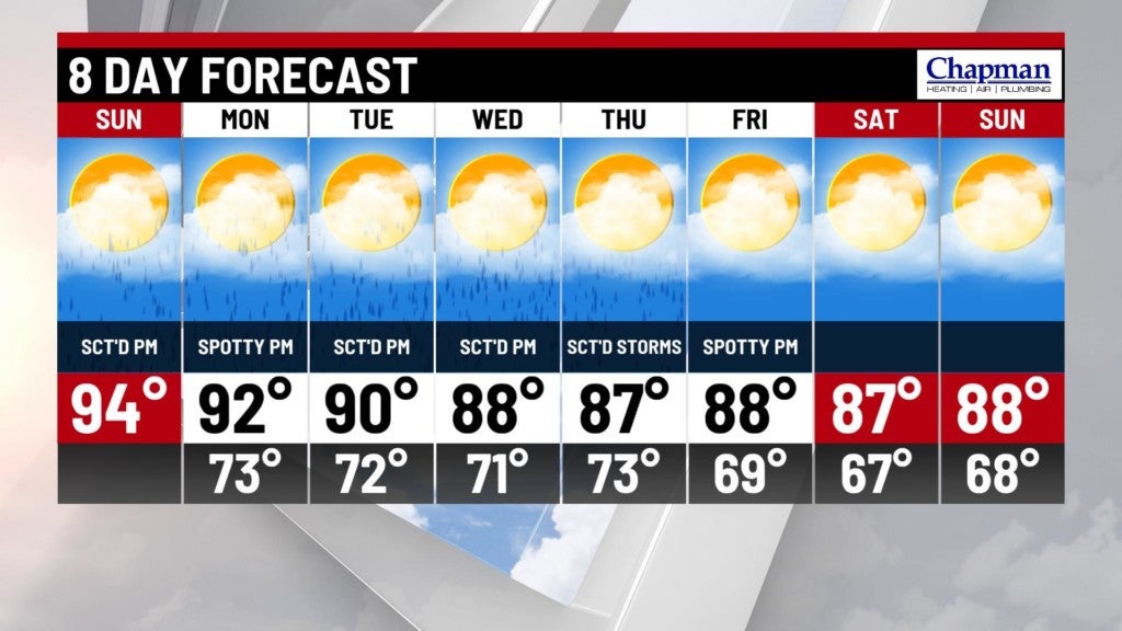
8 day forecast:
Another decent shot for showers and storms on Tuesday. Hot and humid conditions continue through the majority of the week, although we should escape the 90s starting Wednesday. Nearly daily afternoon rain chances from Wednesday through Friday.