


Rain and snow showers arrive Sunday night
INDIANAPOLIS (WISH) — Our busy weather pattern continues this evening, as mostly rain showers arrive through the overnight. Warming temperatures continue to build this week.
Sunday:
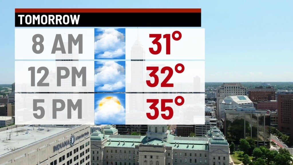
Much of the day looks dry, with a gradual increase of cloud cover through the day. Highs top out in the upper 30s and lower 40s.


Sunday night:
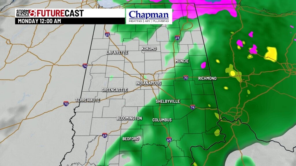
Storm complex moves into the Midwest. We should be on the warmer side of the system, meaning we should see mostly rain across our area. There could be some brief changeover or mixing of snow overnight, but accumulations will be limited. Somewhat of concern will be the ground temperatures, which have been and will continue to be sub-freezing during much of the event overnight. This could lead to some minor icing on untreated and lesser-traveled surfaces during the overnight leading into the Monday morning commute. Precipitation should pull away from the state by early Monday morning.
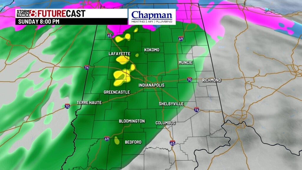

Lows fall to the lower 30s.

Monday:
Storm complex will pull away from the area, leaving us mostly cloudy. Highs top out in the middle 30s.

8 day forecast:
Warming trends with quiet conditions on tap for the rest of the week. Highs should jump to the mid-40s for the midweek. Possibility for warmer temperatures heading into next weekend, with chances for showers both Saturday and Sunday.
