


Record temps possible Monday, active week ahead
INDIANAPOLIS (WISH) — Records could fall again Monday with well above average temperatures this afternoon. Rain returns late Monday night, opening up an active stretch this week.
Today:
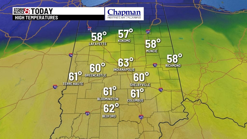
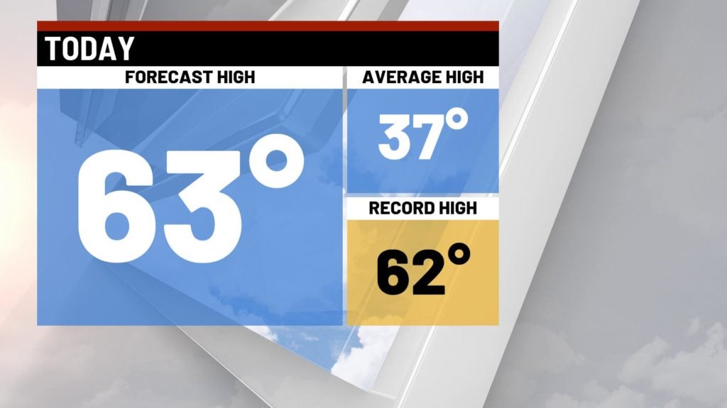
Another record could fall as we continue with unseasonably mild temperatures across the area to open the workweek. We’ll see a gradual increase in cloud cover throughout the day, but highs still hit the lower 60s across the area. Indy’s forecasted high of 63° would beat the record of 62°, which we hit last year.

Like yesterday, gusty winds will be noticeable for much of the day, with gusts between 25-30 mph through much of the day.
Tonight:
A frontal system will approach the state from the southwest, and should spark a few light showers for some of our southern counties just before midnight. Expect more rain to move in during the overnight hours leading into daybreak.

Temperatures will hold steady – mainly in the middle 50s for much of the overnight.

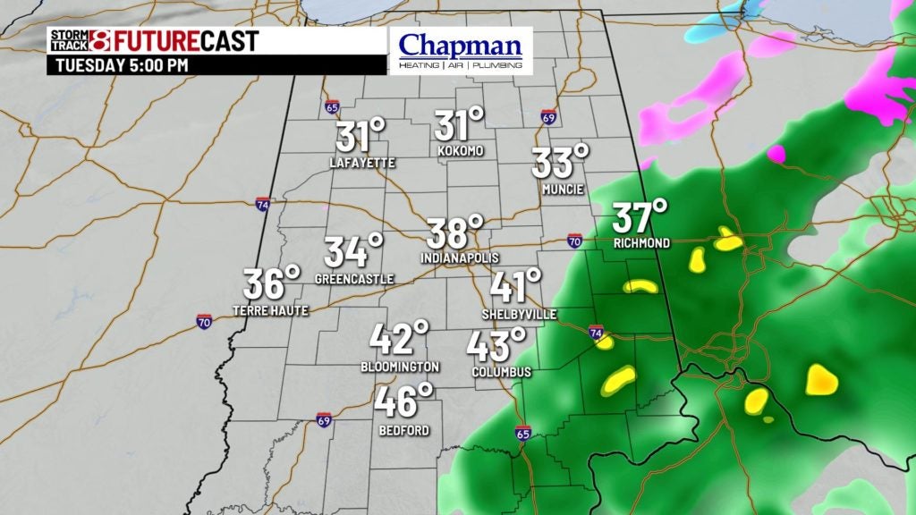
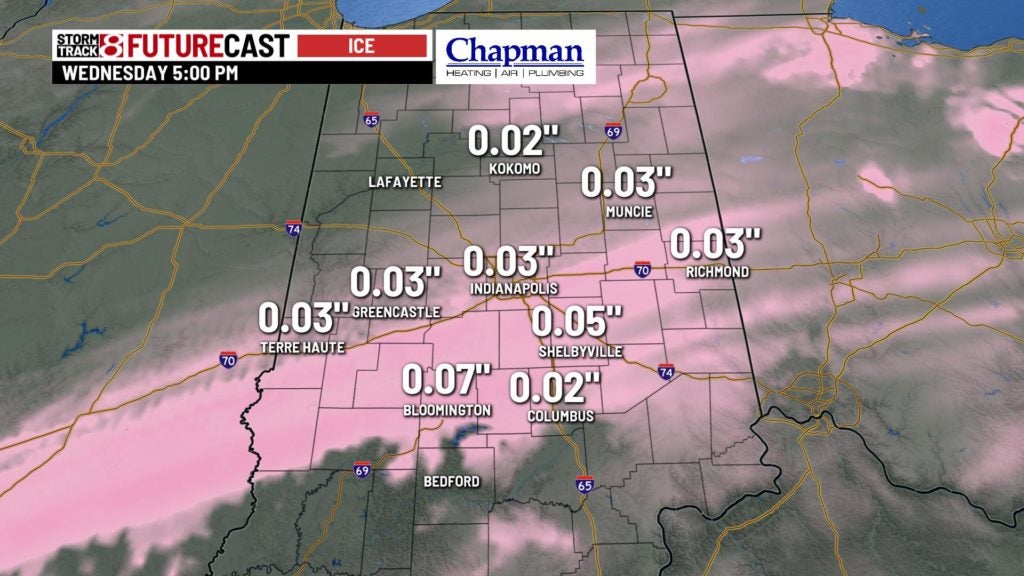
Rain to ice Tuesday?
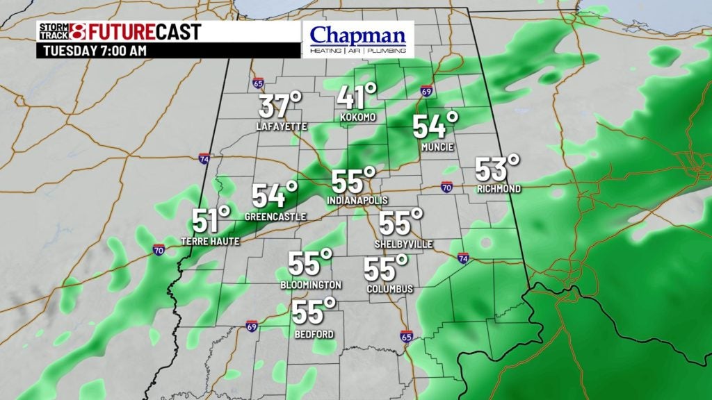
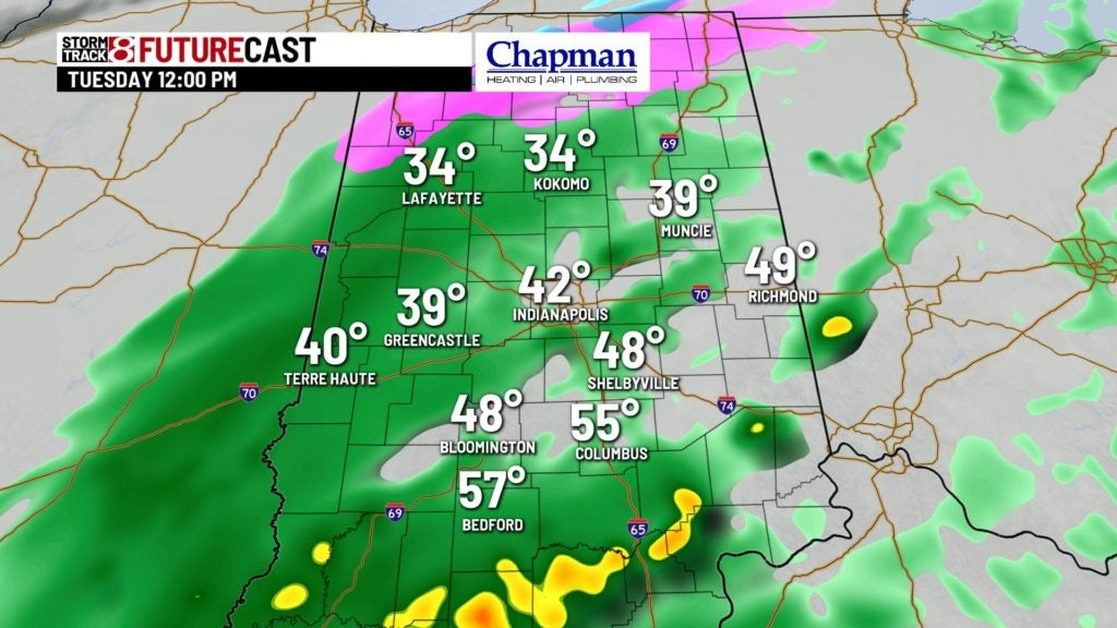
Mild temperatures continue for the first half of Tuesday, keeping all precipitation in the form of rain. Much colder air fills in on the back end of the system, possibly changing rain over to sleet/freezing rain, and possibly even some snow for some areas north of Indy. While accumulations of all wintry precipitation modes are possible, they should be relatively light. That said, enough could stick to make for slick travel late Tuesday night into early Wednesday morning.


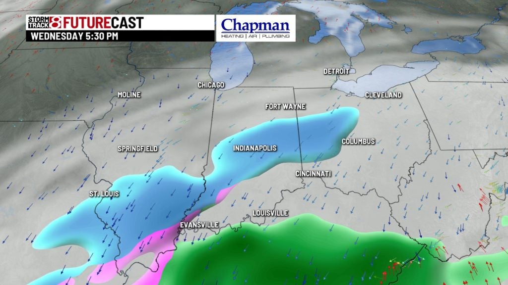
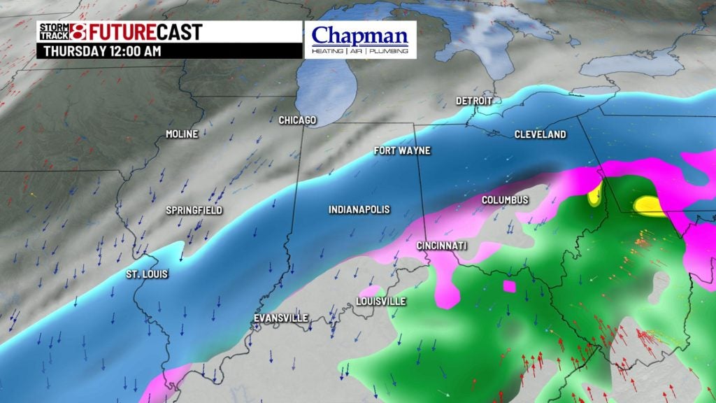
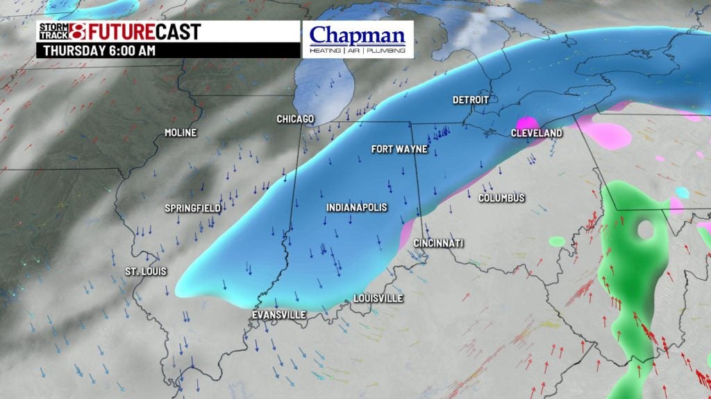
Snow possible?
The active system rolls on for Wednesday night into Thursday, as another upper-level system moves into the area. This system will mesh with colder air, and could bring some light snow accumulations to the area late Wednesday into Thursday. Because this is very much track dependent, it’s still a bit too early to place any accumulation forecasts out there just yet.
8 day forecast:
Quieter weather should settle in for Friday into the weekend, with near-normal temperatures through Saturday. We should see a quick boost in our high temperatures starting Sunday.
