


Scattered showers move in Saturday night
INDIANAPOLIS (WISH) — Mild temperatures continue as active weather pattern brings several rain chances over the next several days.
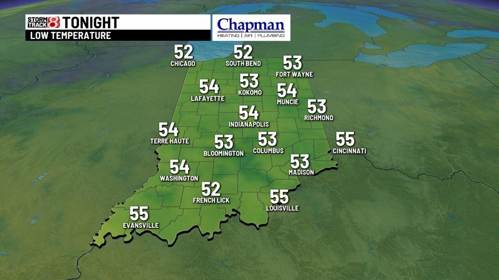
Saturday night:
A weak upper level disturbance will make for light, widespread showers across central and especially southern portions of the state this evening. The most consistent rain should be in the southern half of the state, but anywhere across the state is fair game for some light showers.

Lows fall to the mid 50s.
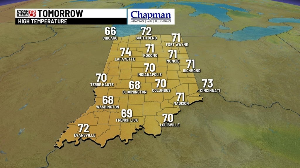
Sunday:
Cloudy conditions and mild temperatures. We’ll have spotty rain chances at any point during the day, but many dry hours to wrap up the weekend.

Highs top out in the lower 70s.
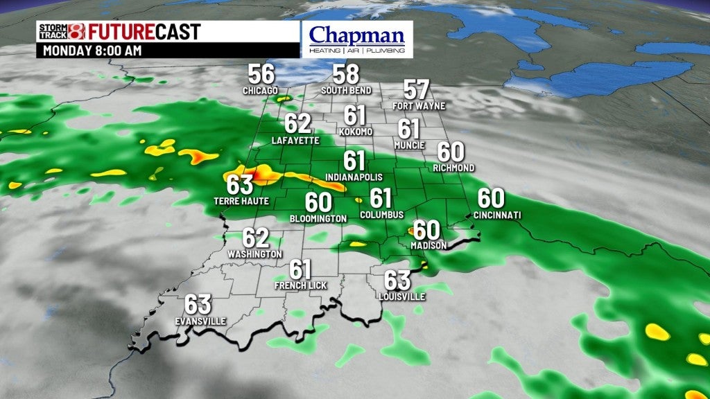
Monday:
Wet day on tap with a more potent system working into the state. Warm front moving through will spark widespread rain and with a few thunderstorms. Highs top out in the lower 70s.

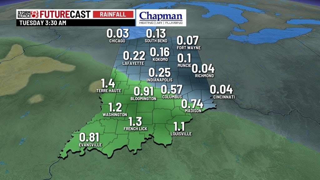
8 day forecast:
Very late Spring-like forecast on tap, with warming temperatures, higher humidity, and with the combination of both, daily, spotty thunderstorms Tuesday through Friday. Storms should be limited and below severe limits. Highs also look to hit the 80s starting Thursday and continue into next weekend.

