


Showers continue Tuesday
INDIANAPOLIS (WISH) — Soggy pattern continues with a cold front passage bringing showers and storms, followed by much cooler temperatures.
Tuesday:
We’ll start the early morning hours off dry with partly cloudy conditions. Line of showers and storms ahead of a cold front will push into the state by late morning into the afternoon hours. Potential for heavy rainfall at times.
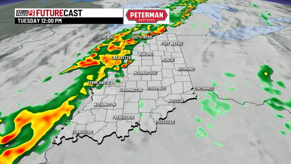
Highs top out in the middle 70s by the early afternoon, but drop into the upper 60s quickly after the frontal passage.


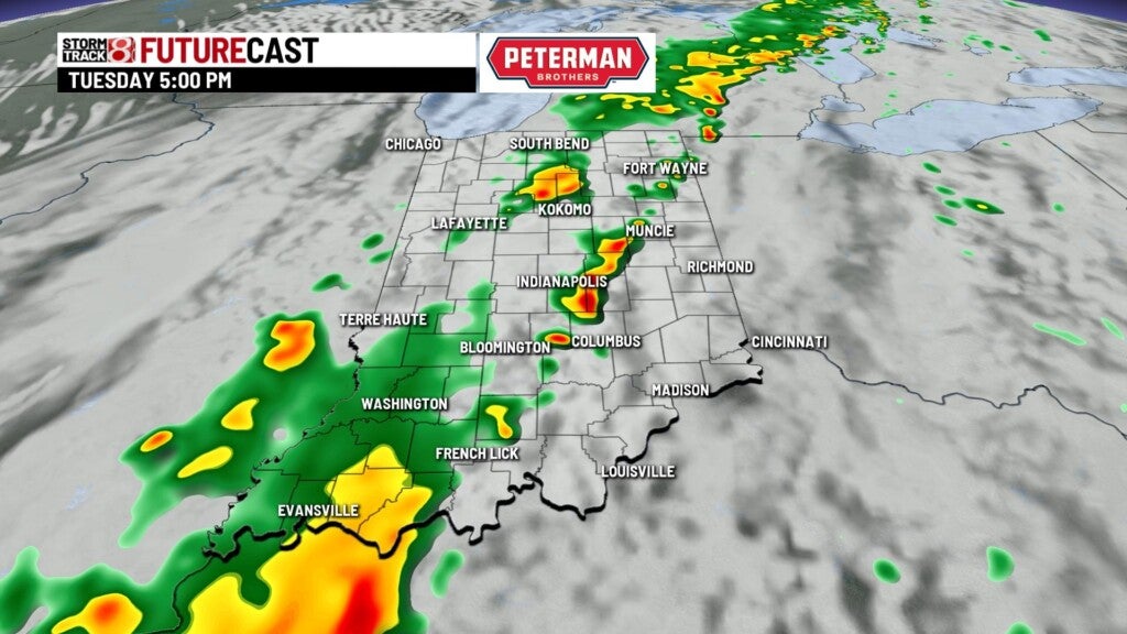
Tuesday night:
Front will stall out a bit just to our east, leaving showers to linger across much of the state.

Lows fall to the mid 50s.

Wednesday:
Showers will likely be around for the morning hours. Should be relatviely light, but with much cooler air settling in, it will make for a raw day.


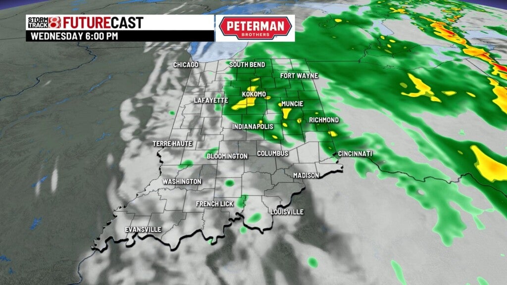
Highs top out in the lower 60s


8 day forecast:
Models hint at an upper level low developing along the cold front, which could bring some wrap around showers to northern parts of the state Thursday. Otherwise, look for quiet conditions to end the week, Temperatures should warm back to the lower 70s starting Friday, and bump back to the middle 70s for the end of the weekend into early next week. Just an isolated shower chance possible as a weak cold front passes by Friday night into Saturday morning.


