


Warmer Saturday, storms return Saturday night
INDIANAPOLIS (WISH) — A quick surge in temperatures will make for a very pleasant afternoon, before showers and storms return late in the evening.
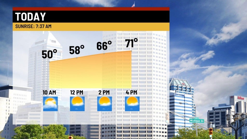
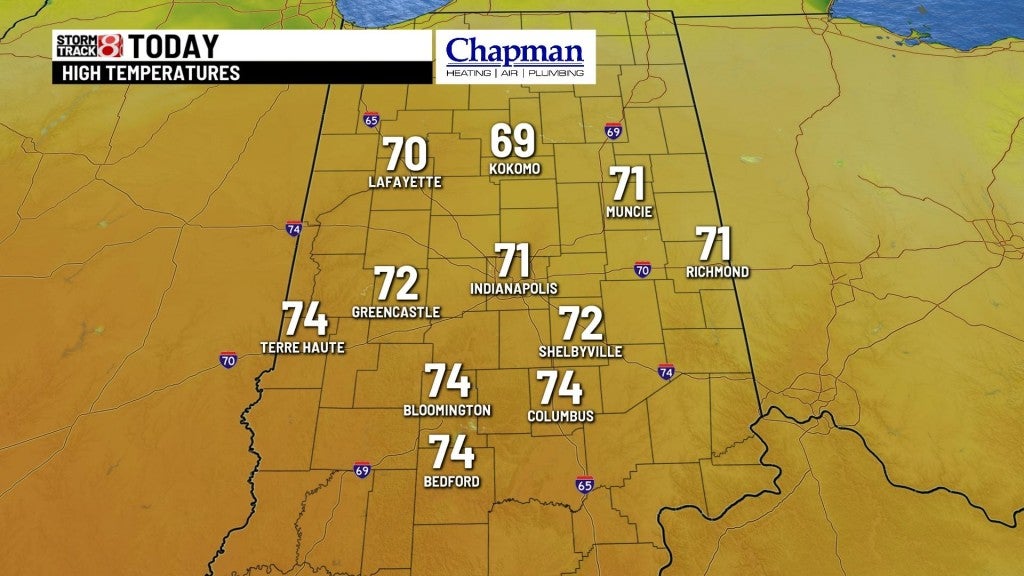
Saturday:
Partly cloudy conditions expected for much of the day. Mild temperatures on tap with most of the area hitting the lower 70s later this afternoon.
Saturday night:
A cold front will sag into the state this evening sparking showers and storms across the state. There is enough “juice” in the atmosphere for a few strong to severe storms. Much of the state is under a marginal risk (level 1/5) for severe storms, with southwestern Indiana under a slight risk (level 2/5). Main threats will be damaging wind and large hail, but a brief, isolated tornado can’t be ruled out southwest of Indianapolis.

Timing of the storms could be as early as 6 pm, through 1am Sunday.

Overnight lows fall to the mid-40s.

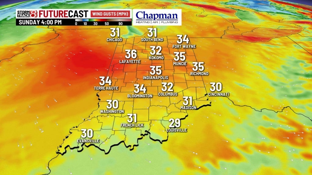
Sunday:
Much cooler day on tap, and blustery at times with a stiff northwest wind. Highs top out the lower 50s.


8 day forecast:
Quiet pattern to open the week, with highs back to the 60s for Monday and Tuesday. Another cold front moving through Tuesday night into Wednesday will spark showers across the state. It will also bring a chilly shot of air moving in, with highs only in the 40s and 50s to begin the month of April.
