


Very cold rest of weekend; warmup to 50s midweek
INDIANAPOLIS (WISH) — No big changes in our weather pattern the rest of the weekend, but there is a big warming trend coming next week.
We are talking temperatures in the 50s midweek.
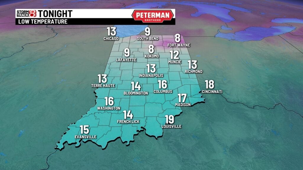
Saturday night: Flurries ending and skies clearing. Very cold low of 13 by Sunday morning.
Sunday: Becoming cloudy again with snow flurries possible. No significant accumulation expected but could be some slick spots. High only 25.
Monday: Some sunshine will return. After another cold morning, about 12, it warms up a little to 32 Monday afternoon.
The melting around the edge of Morse Reservoir is done for now. Cold temperatures all weekend and the flags tell us there is a stiff wind to add an extra chill.

Snow flurries wil; move out and skies will clear to let temperatures drop to very cold readings by Sunday morning.
Clouds with possible flurries will move back into the area Sunday. No significant accumulation is expected, but there could be some scattered slick spots again.
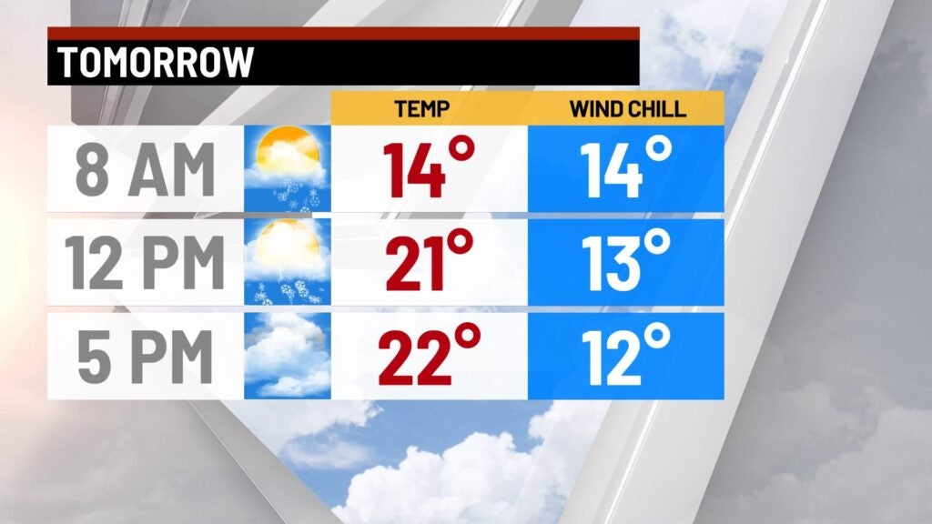
Because of the clouds and flurries, it will stay cold Sunday. These high temperatures are about 15 degrees colder than average for Feb. 13.

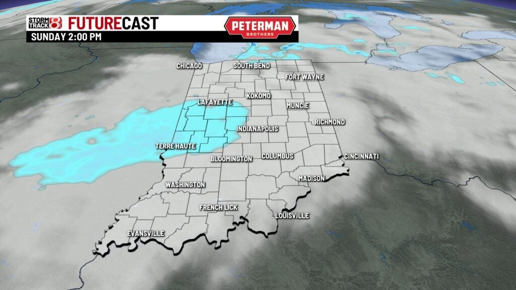
FutureCast indicates a patch of light snow showers and flurries moving into Indiana in early Sunday afternoon. This patch of snow will move through rapidly and end by late afternoon.
8 Day Outlook: Much warmer Tuesday, Wednesday and Thursday. Highs in the 40s and 50s. There is a chance for rain showers Wednesday afternoon into Thursday morning. Then a wintry mix is possible Thursday afternoon. Temperatures about average into next weekend. Lows in the 20s highs in the 40s.
