


Snowy start to Saturday
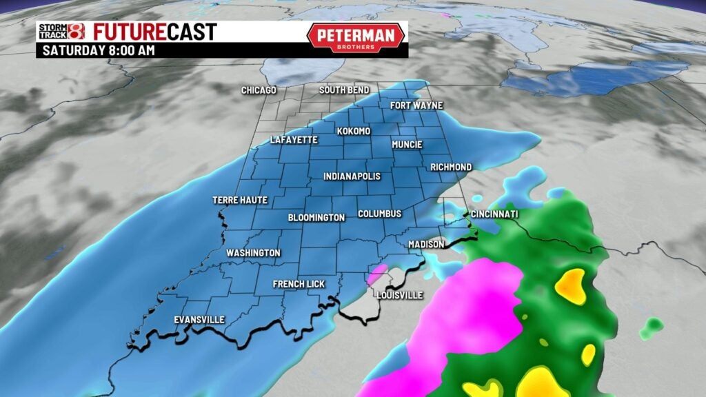
INDIANAPOLIS (WISH) — The first snow of the season will hit most of Indiana this morning. Accumulations up to an inch are possible in most spots.
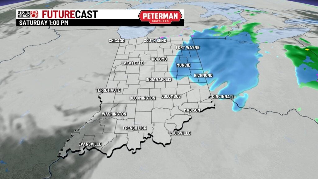
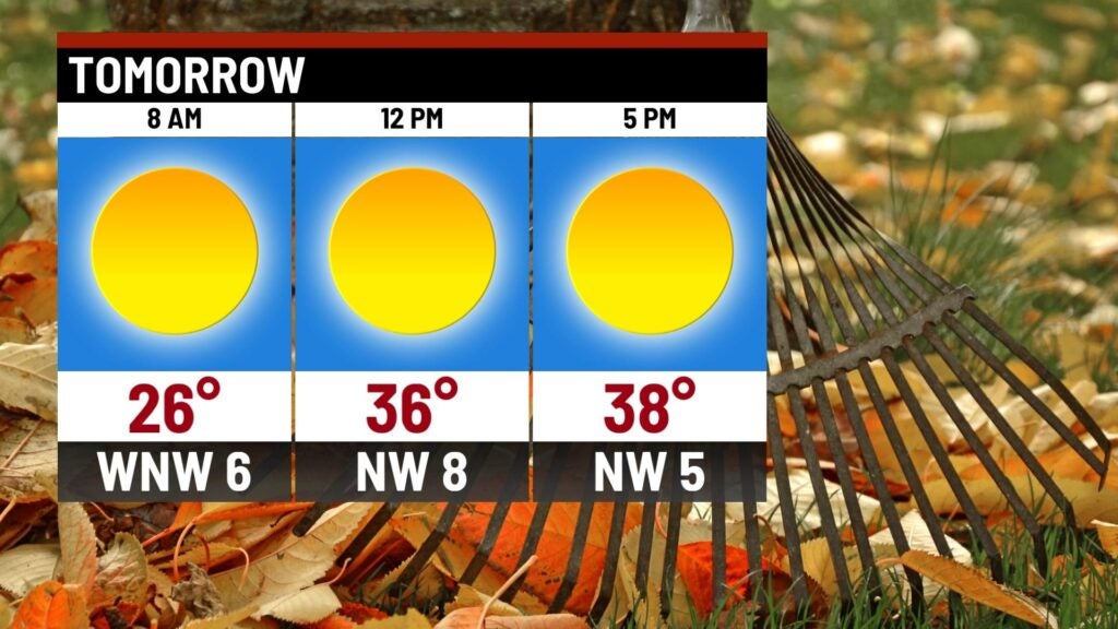
TODAY: A snowy start to Saturday. Light snow will move throughout the state for the first part of the day. Slick roads are likely this morning. A lot of the snow will stick to grassy surfaces and elevated surfaces. Total accumulations will likely be around an inch but some spots may pick up a little closer to 2″. The snow comes to an end and exits the state around 1 p.m. It’s going to be cloudy and cold with highs staying in the middle 30s. Winds will be out of the west around 5-10 mph creating wind chills or feels like temperatures in the 20s at times.


TONIGHT: Clouds begin to decrease tonight. It turns cold once again with lows falling into the middle 20s.


SUNDAY: The clouds clear for the afternoon and we’ll see lots of sunshine to end the weekend. It stays on the chilly side with temperatures still well below normal. Look for highs in the upper 30s near 40.

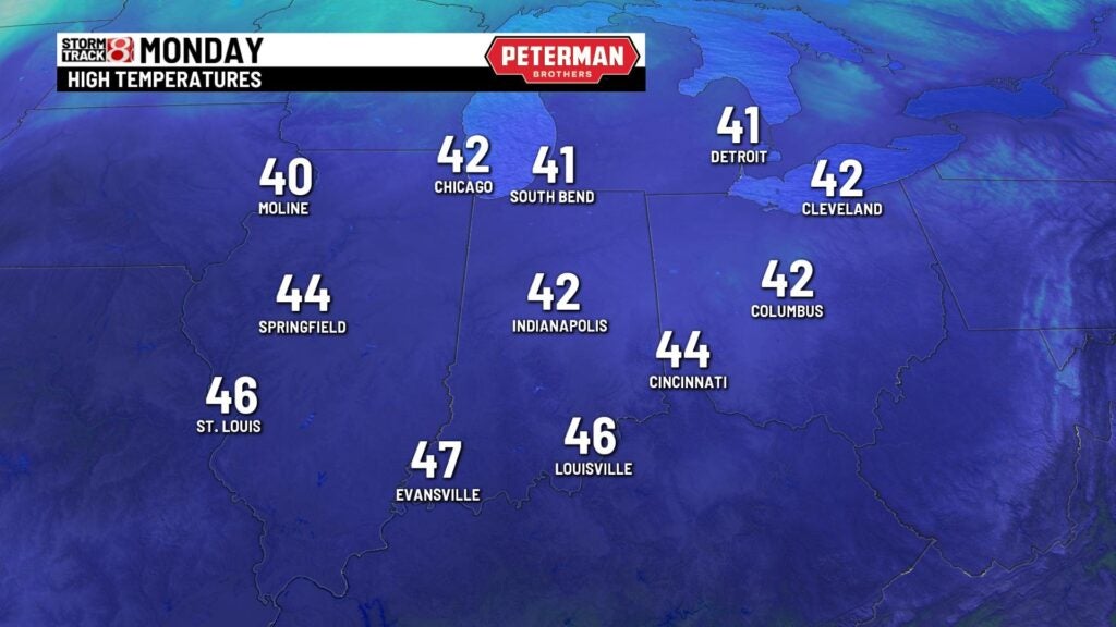
MONDAY: A quiet start to the workweek with highs in the lower 40s under mostly sunny skies.
8DAY FORECAST: Another system heads this way on Tuesday. It brings a good chance for another round of light snow. This may mix with a little rain at times. Highs will be near 40. We dry out for the end of the week with temperatures staying around 40 for highs. Another shot of cold air moves into the state for next weekend. It looks like highs may stay in the 30s for next weekend.
