Tracking a rainy Thursday
INDIANAPOLIS (WISH) — We struggled to warmup throughout our Wednesday due to stingy cloud cover and lingering fog/haze. Now, our focus turns toward a wet Thursday with rain chances lingering into Friday.
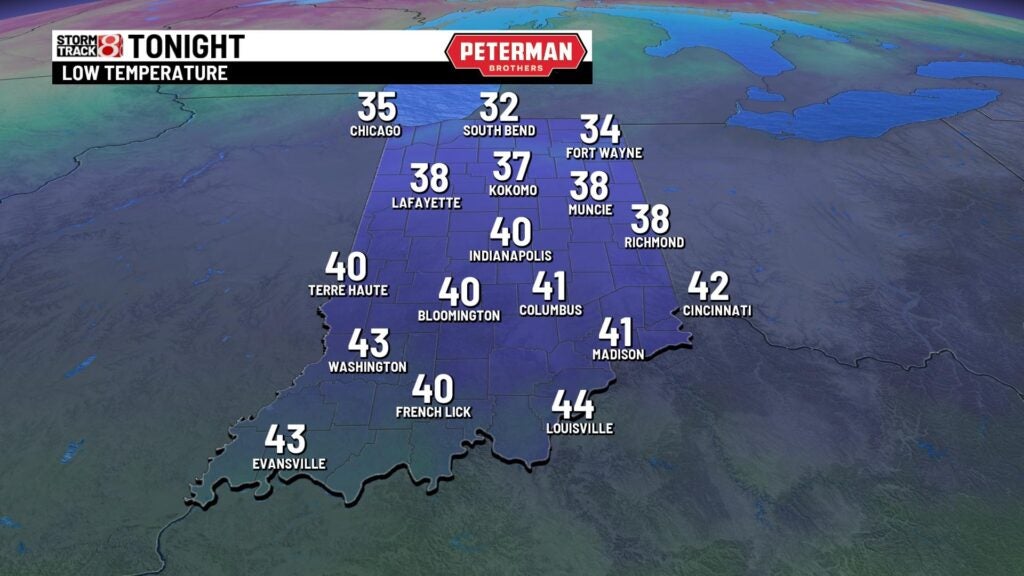
Wednesday night: A rinse and repeat night will be on display with mild low temperatures in the low 40s and patchy fog.
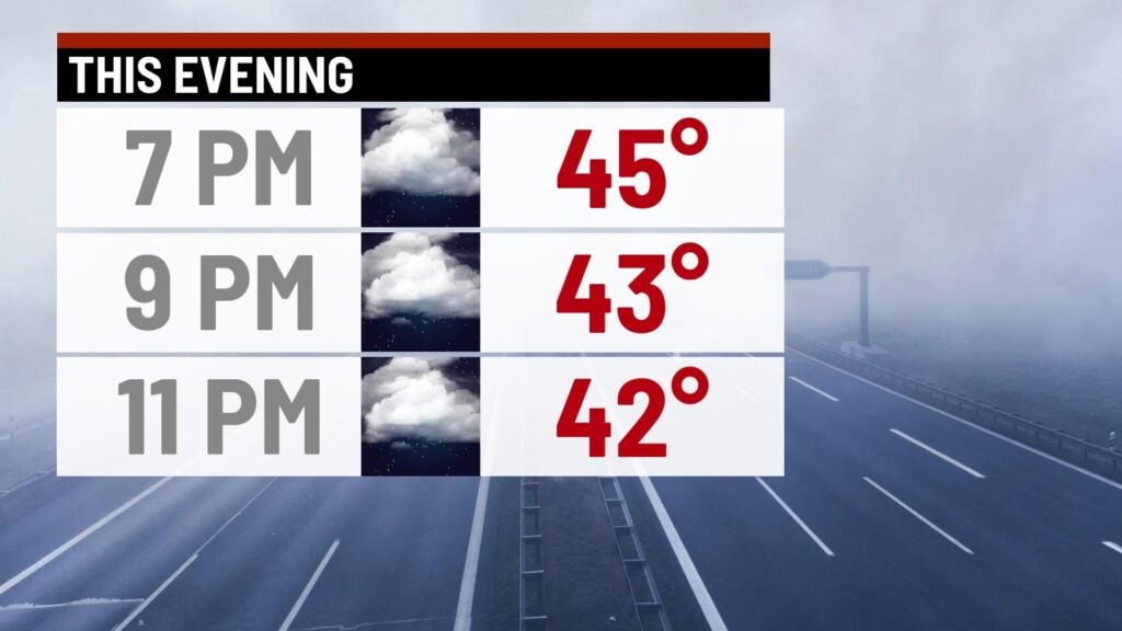
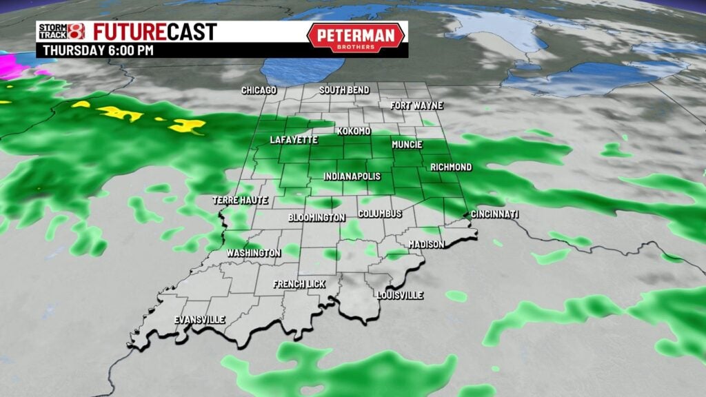
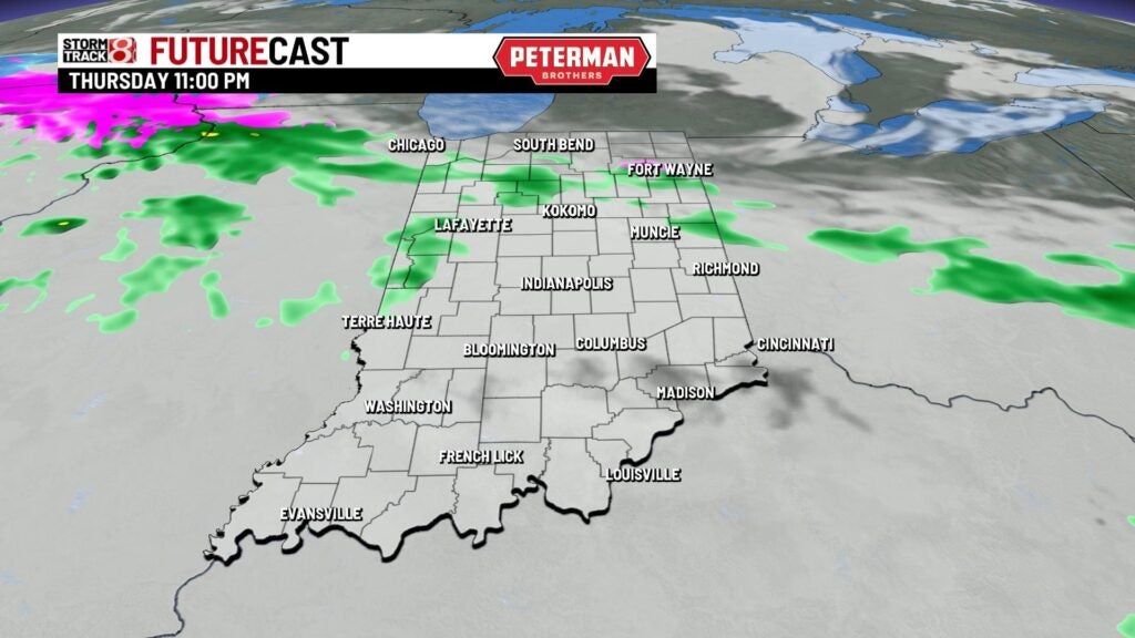
Thursday: Prepare for another morning of potential slowdowns and school delays due to patchy fog. The next weather system we have been tracking will usher steady rain into the state from the southwest close to sunrise. By Thursday afternoon, we will be firmly locked into a rainy period of weather. Rain will gradually disperse for the most part by the nighttime hours.

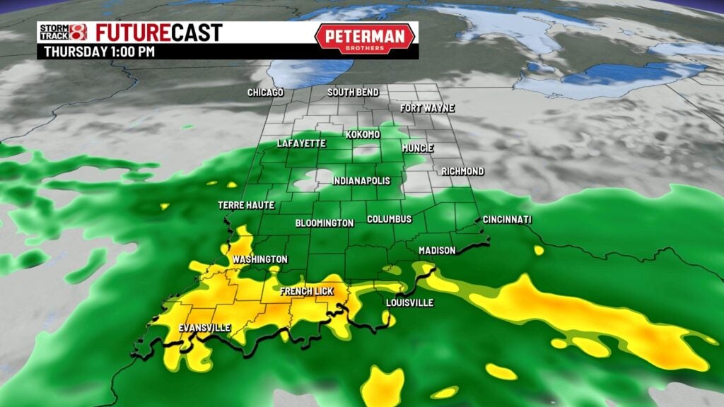
Highs look to rise into the mid to upper 40s, which will mark another above average afternoon for us despite the rain.
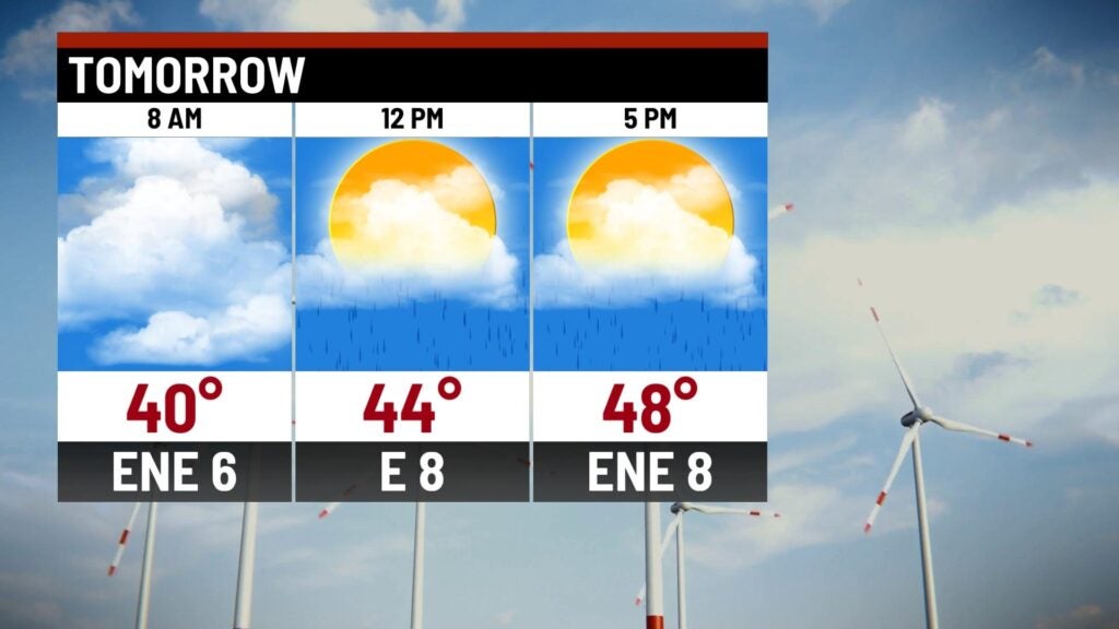

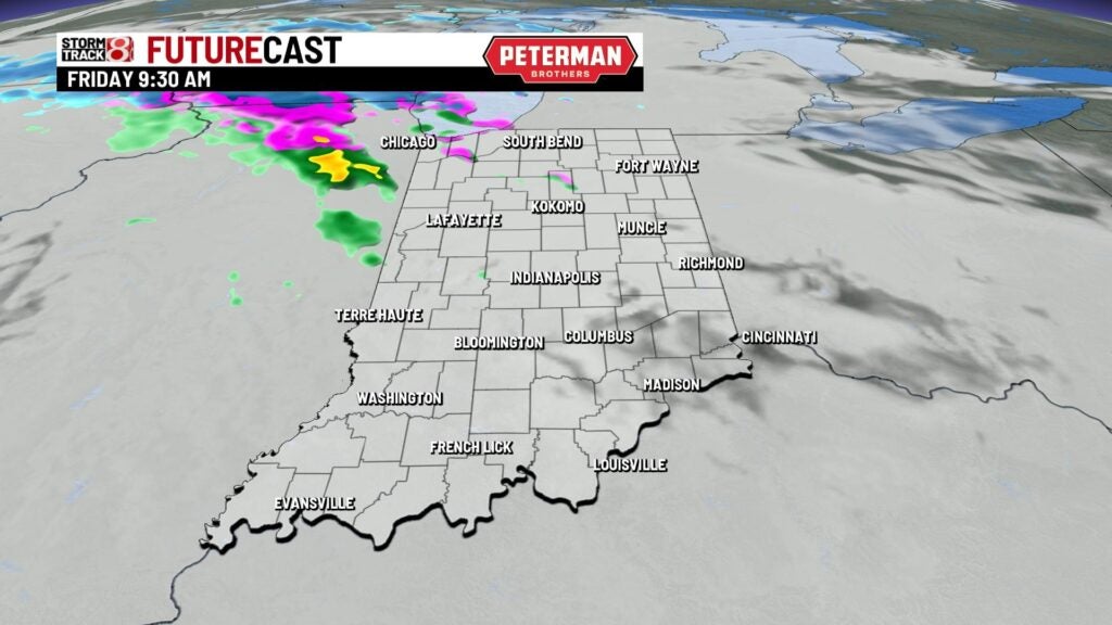
Friday: We can’t rule out a few showers during the Friday morning commute, but we’ll dry out completely by the afternoon hours.
Highs are set to top out in the mid 40s to low 50s.

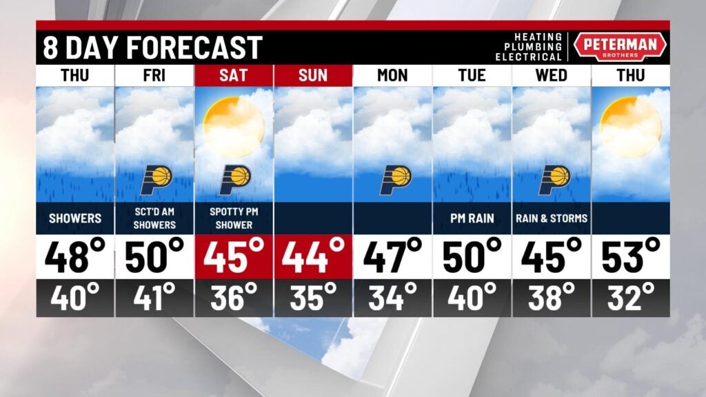
8-Day Forecast: We’ll dry out just in time for the upcoming weekend. Near normal temperatures are expected for Saturday and Sunday with highs in the mid 40s. This dry airmass will be short lived as we track additional rain and storm chances during the first half of next week.