


Tracking Monday night rain, then gradual turn towards refreshing air
INDIANAPOLIS (WISH) — We continued to see the miserable air train roll along through our Monday. This lead way to pop-up showers and storms during the afternoon hours. We are tracking bits of active weather over the next couple of days before pleasant air returns.
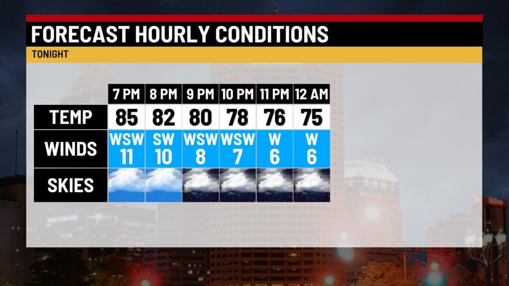
Monday night: Rain and storm coverage is set to increase tonight. Any thunderstorm will produce torrential rainfall and frequent lightning. There is some concern for flooding as well. This is why areas southwest of Indy will be under a flood watch tonight.
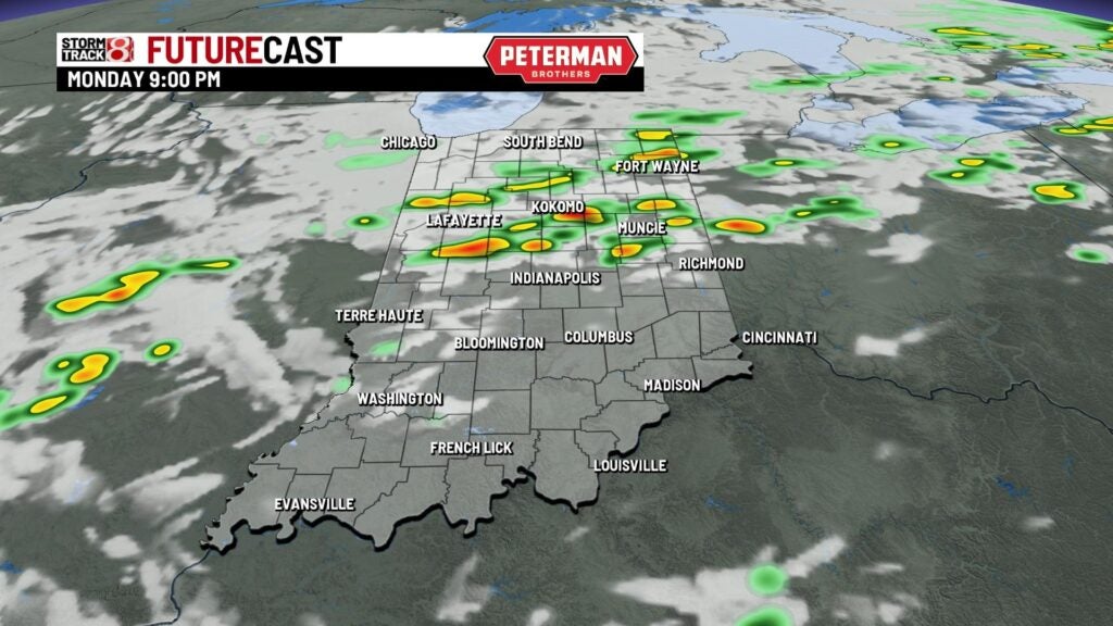


Expect a mild and humid night with lows falling into the mid 60s to low 70s.

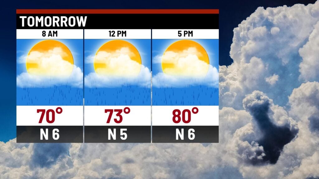
Tuesday: A few showers and storms will be possible during the first half of our Tuesday. The remainder of the daytime hours will be dry before more isolated showers potentially develop late Tuesday.
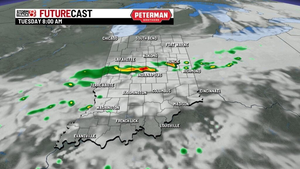


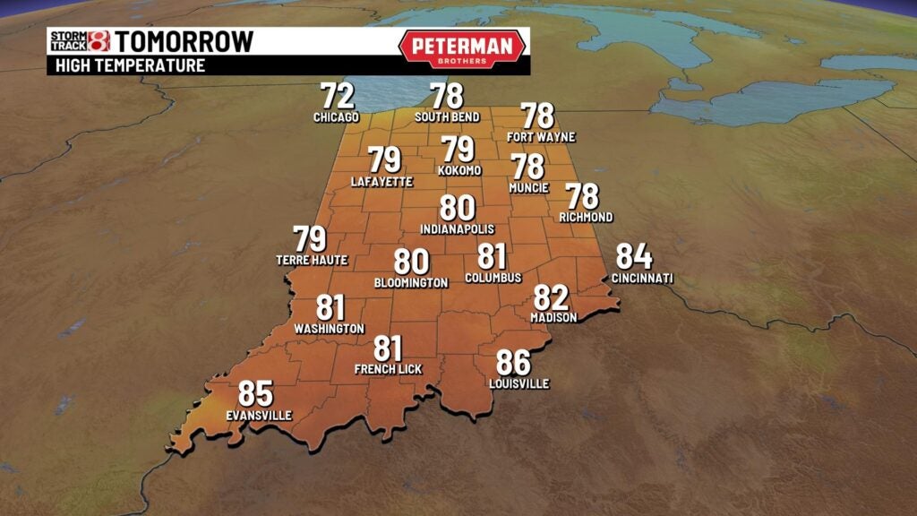
It will be a cooler and slightly less humid day overall with highs in the upper 70s to low 80s.
Wednesday: Enjoy a dry and near average summer day as humidity values continue to gradually decrease. Highs look to rise into the low 80s.

8-Day Forecast: We can’t rule out isolated showers and storms for Thursday before we work in an amazing end to the workweek. Despite a chance for showers early Sunday, much of the forecast after Thursday features below average temps and comfortable air.
