Warmest air of the year ahead
INDIANAPOLIS (WISH) — We continued to turn up the thermometer knob for our Tuesday with highs creeping into the mid 80s. The warmest air of the year is right around the corner for us as we get into Wednesday.
Tuesday night: Cloud cover is set to partially build back in as a much warmer and humid night will be on tap. Lows will only fall into the upper 60s.


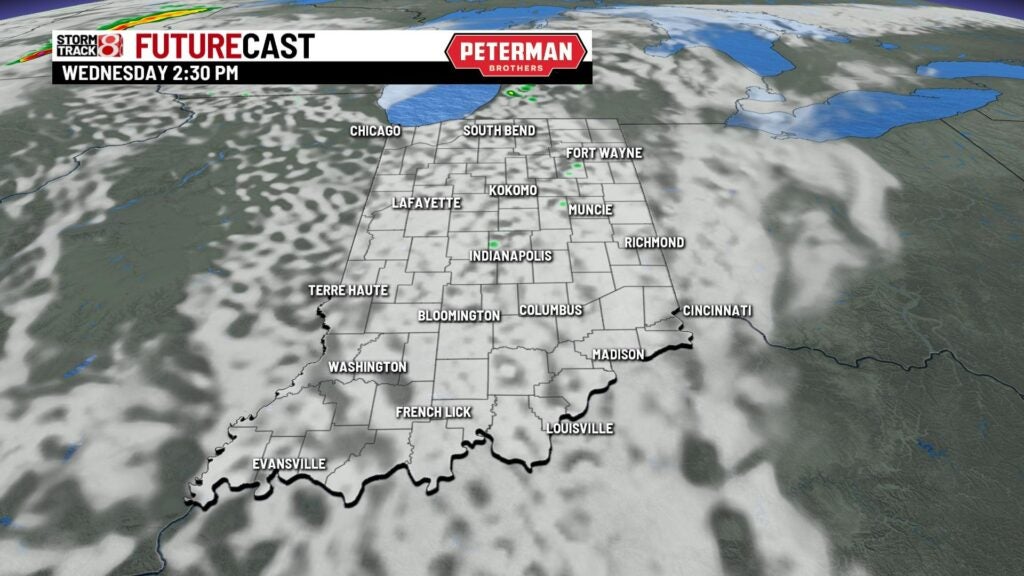
Wednesday: We will start our Wednesday off with some cloud cover before skies clear out. An isolated shower and storm or two will be possible at any point in the day.


Near record high temperatures will be in store with numbers rising into the mid to upper 80s. Indy’s record high for tomorrow is 89°.


Thursday: Near record temperatures stay with us for our Thursday. Indy’s record high for Thursday is 88°. Abundant sunshine will help aid in numbers once again top out in the mid 80s.

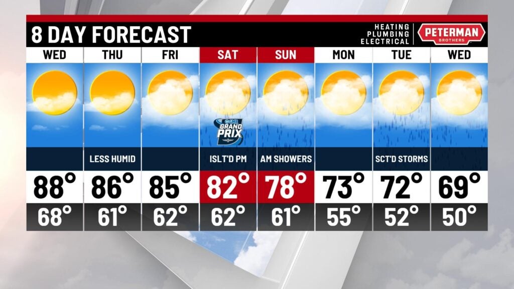
8-Day Forecast: Above average highs continue into the end of the workweek before we work in a more solid system for active weather. Better chances for rain and storms are in place for Saturday and Sunday with highs slowly cooling down. There is a cautiously optimistic chance that the Indy Grand Prix race stays dry on Saturday. It is also too early to say if strong to severe storm potential is in play this weekend. Near average temps are expected by early next week.