


Warming up and bringing back rain chances
INDIANAPOLIS (WISH) — After a fairly cold start to the workweek, we will jump in on a warmup going into midweek. However, this will open the door for a bit of activity to swing into the state for the second half of the week.
Monday night: Skies are set to clear out in what will be a frigid night. Lows will bottom out in the mid teens to low 20s.


Tuesday: We will be rewarded with a much warmer afternoon after a cold past couple of days. Enjoy high temperatures in the low to upper 40s with plenty of sunshine. Some locations in southern Indiana could hit the 50s. Winds will begin to pick up by the nighttime hours.


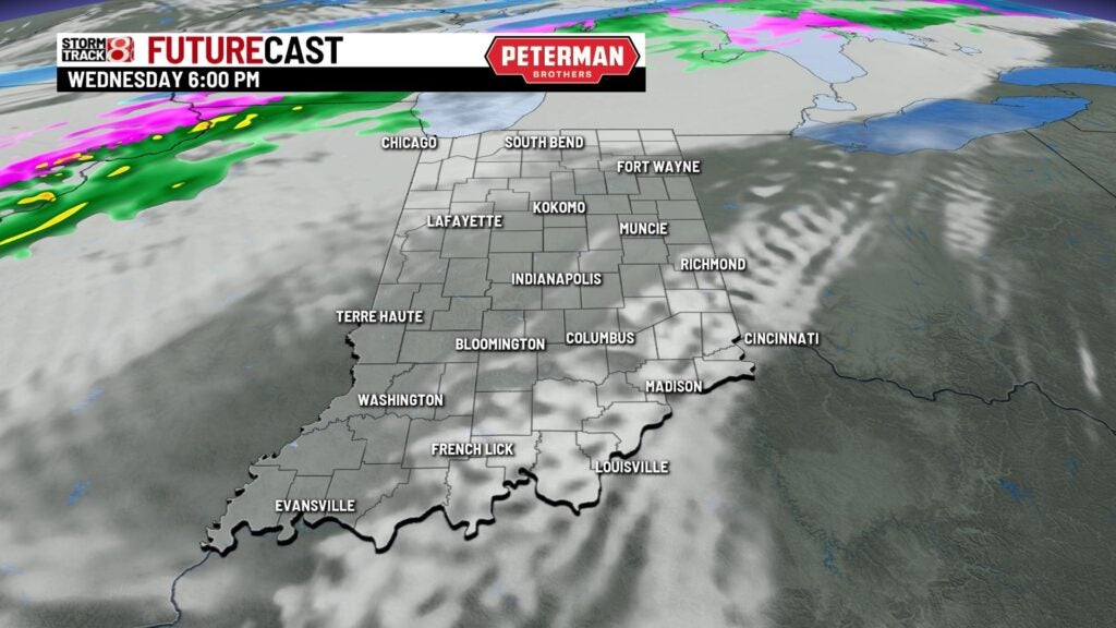
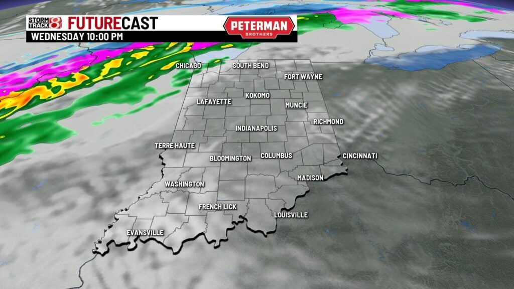
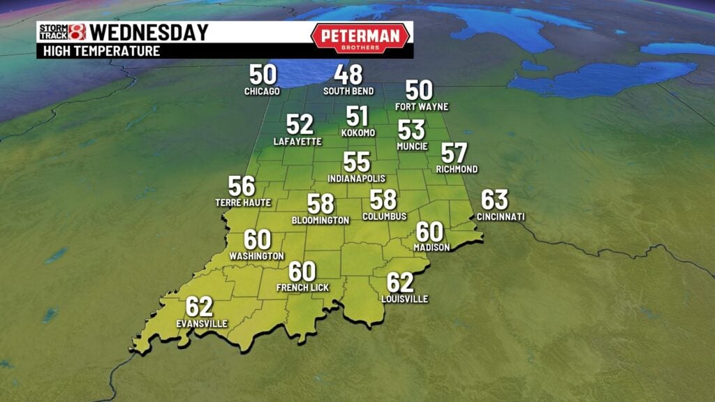
Wednesday: The warming trend continues into our Wednesday with winds becoming a bit gusty (over 30 MPH) at times. Cloud cover will also increase ahead of our next weather maker. Isolated to scattered showers are possible during the second half of the day.

Highs look to climb into the low to upper 50s.
8-Day Forecast: Better chances for rain will arrive by Thursday in which we are looking at a rather soggy day to take place. With some snow melt still ongoing as well, flooding issues may become a concern. At this time, there is the potential for up to one to two inches of rain across central Indiana through Thursday night. Rain will slowly transition over to a wintry mix/snow by the second half of Thursday into early Friday. Specifics will continue to iron out over time on which areas have a better chance to see accumulating snow. Activity is expected to exit the state altogether by Friday afternoon. Winds will also continue to be a bit gusty (over 30 MPH at times) through Thursday, and these winds will eventually bring down much colder air to end the workweek. Highs then make a jump from the low 30s on Friday to the upper 40s by Sunday.
