


Warming up with rain and storm chances late this week
INDIANAPOLIS (WISH) — We are continuing to track a warmup over the next several days with rain and storm chances ramping up for the second half of the workweek.
Tuesday night: Skies will stay mainly clear tonight, which will cause temperatures to fall into the low 30s.


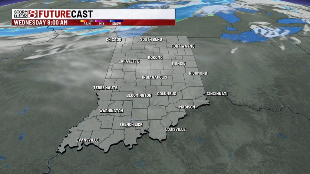
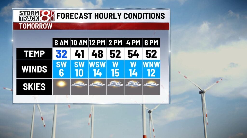
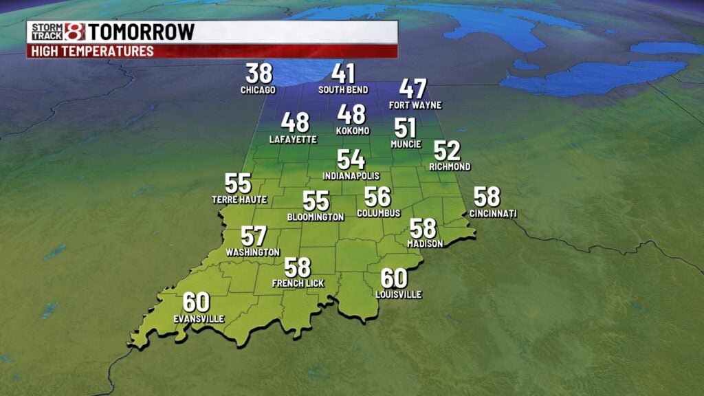
Wednesday: We’ll start our Wednesday mostly clear before skies turn partly cloudy by the afternoon hours. We can’t rule out isolated showers during the afternoon hours due a weak front sliding in from the north. Highs look to sneak into the mid 50s with winds becoming a touch breezy as gusts up to 25 MPH will be expected.

Thursday: The warmup persists into Thursday with cloud cover increasing further. Winds are set to stay light for much of the day until Thursday night when gusts look to approach 20-25 MPH. Highs are going to get into the upper 50s to low 60s.

8-Day Forecast: Active weather will be the story to end March when a powerful system arrives for Friday. This will bring rain and storm chances back to our area, and a few strong to severe storms may even be possible in the latter half of Friday. At this time, the primary threat is damaging winds. It will also become a bit windy from Friday and into much of Saturday with gusts over 40 MPH at times. High temperatures will briefly dip below 60 for the first weekend of April before we quickly push back into the 60s early next week with additional rain chances.

