Week ahead: Temps could hit 60 before snow chances return
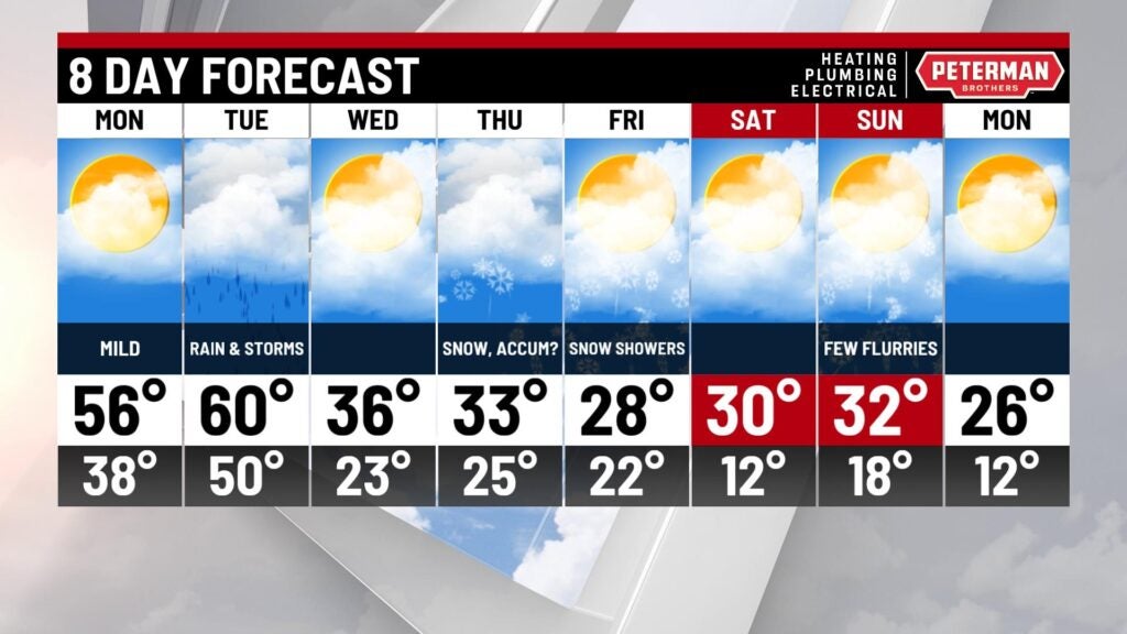
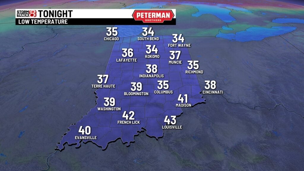
INDIANAPOLIS (WISH) — Sunday night will be a breezy and much warmer than Saturday night across central Indiana, and lows Monday morning will be in the 30s.
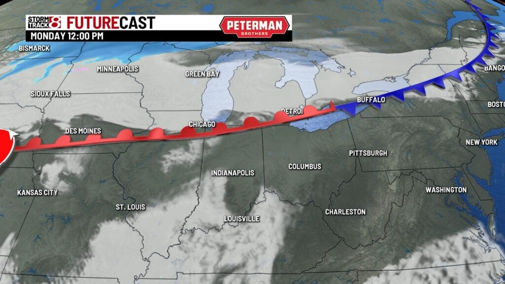
Highs on Monday afternoon again will climb into the 50s along with increasing cloud cover. Rain and a few thunderstorms will be likely Tuesday as a cold front moves through the area.

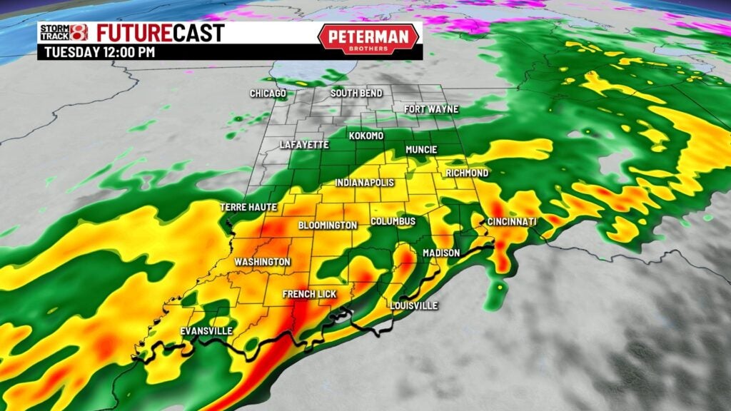

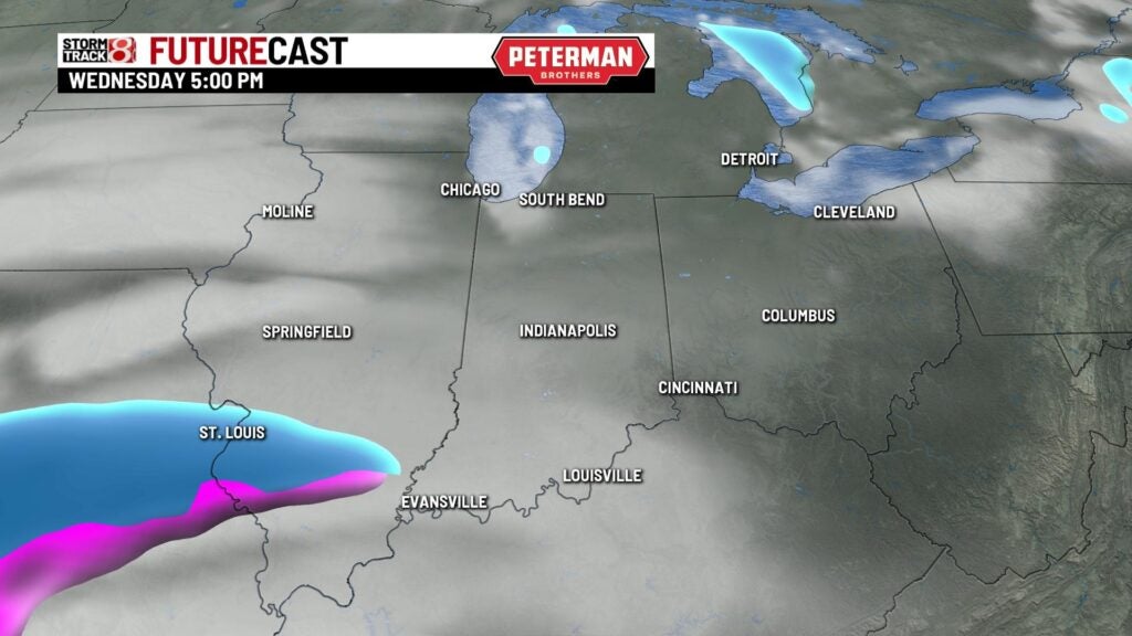
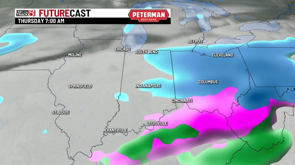
Tuesday will be our final mild day with highs near 60 degrees. Much colder air will arrive for Wednesday with highs in the middle 30s and mostly cloudy skies. A second storm system will bring a good threat for snow starting late Wednesday night into Thursday. There is the potential for accumulating snow as we head into Thursday and Thursday night. Highs on Thursday will be near freezing.

The extended outlook indicates temperatures will go well below normal for the latter half of the week. Snow showers will be likely on Friday and again on Sunday. Weekend highs should be in the lower 30s.