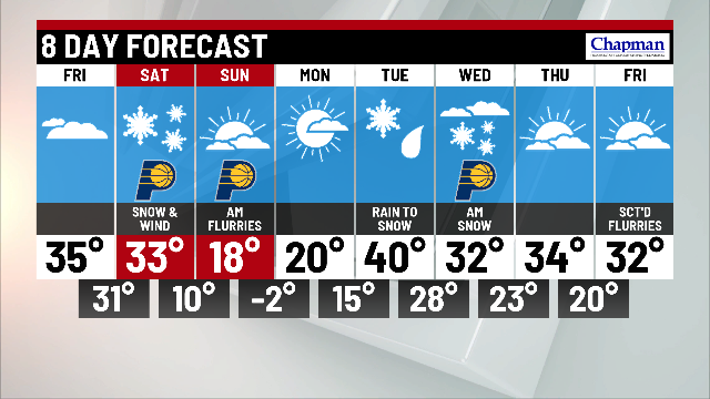
Weekend winter storm

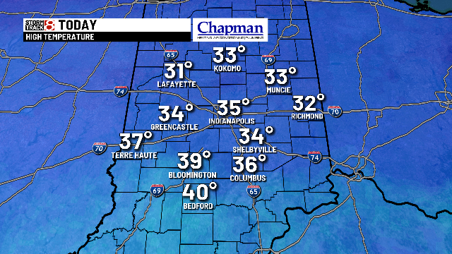
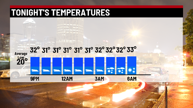
INDIANAPOLIS (WISH) – A cold start to the morning with cloudy skies. Highs Friday will hold steady in the lower to mid 30s. Friday night’s lows will cool to the lower 30s with snow chances increasing through the overnight hours.

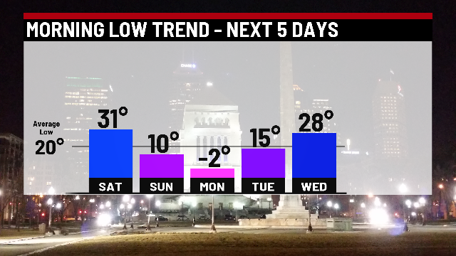
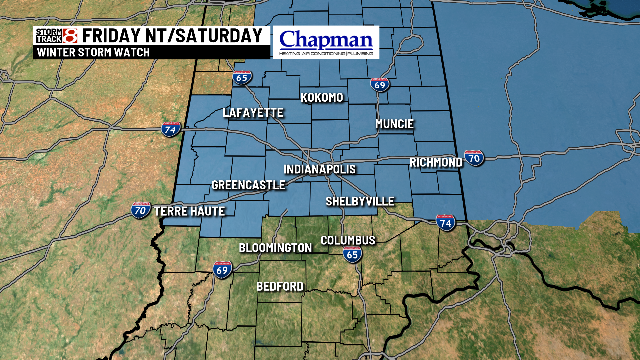
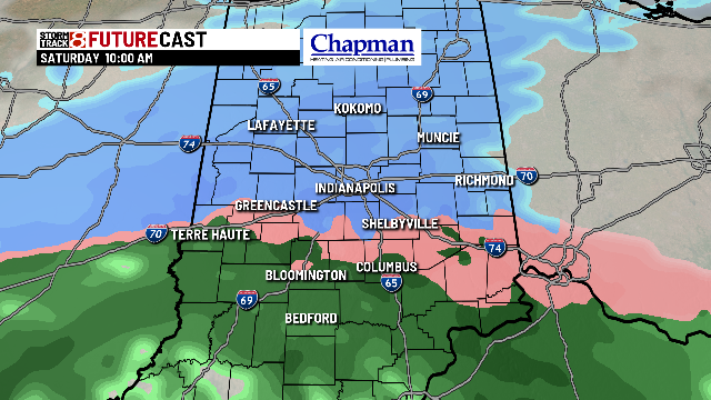
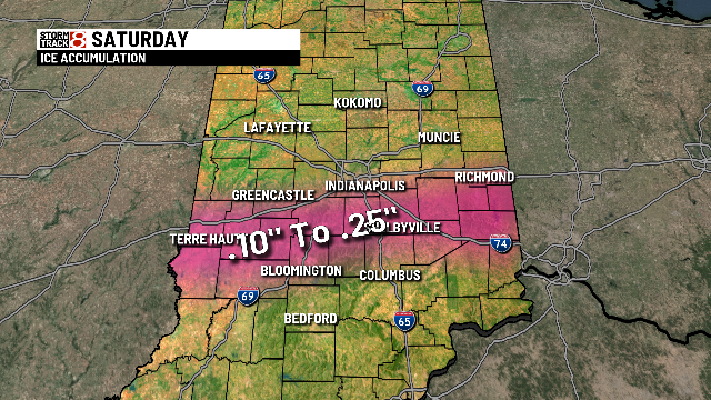
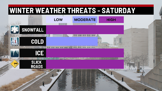
Saturday will be a mess of a day. A Winter Storm Watch will be in effect from Friday night through Saturday night. Snow will spread in by daybreak with steady snow for much of the morning and afternoon. Ice and rain south of I-70 with ice accumulation between .10″-.25″ between I-70 and Columbus,with areas south picking up rain. Once colder air dives in, rain and freezing rain will transition to the snow. Accumulations look to be highest north of I-70 ranging from 5-8″ with a pocket of heavier snow NE at 8-10.” Once the rain transitions to snow late Saturday southern portions of the state could pick up 2-4″.
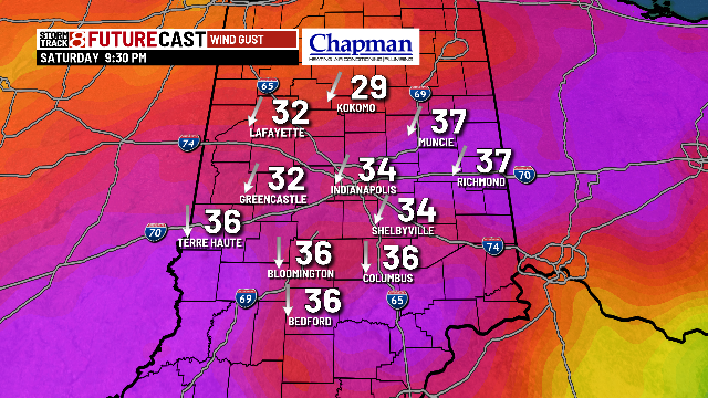


Snow will be gone by midnight with an arctic blast moving in behind it with temperatures overnight falling to the lower teens. Highs during the day on Sunday will stay in the mid to upper teens. It gets even colder with sub-zero lows early Monday morning. Highs still struggle for Monday with highs in the lower 20s with our next weather maker arriving Tuesday in a rain/snow mix.