


Temperature and humidity rising
INDIANAPOLIS (WISH) – FRIDAY: A mix of sun and clouds will be in place throughout as a system passes to our north. There is the chance that we could work in spotty showers in the afternoon hours. Better rain chances will stay to the north.
Highs will rise into the mid-80s.
WEEKEND: Skies will become mostly sunny for our Saturday as we return to a hot and more muggy feel. Highs will climb into the upper 80s before we look to tap into the low 90s for Sunday. Heat index values will be in the mid to upper 90s for Sunday.
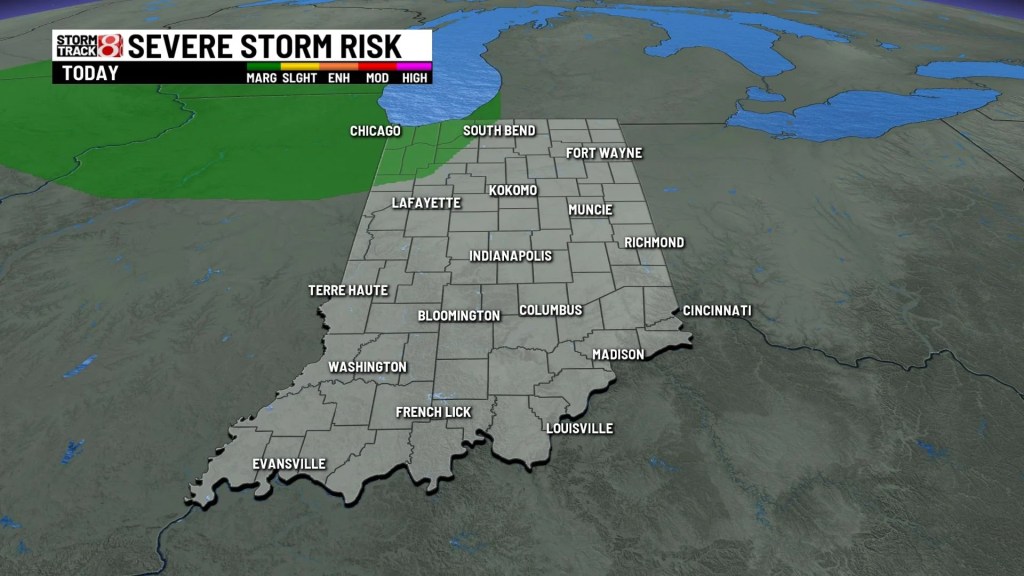
According to the Severe Storms Predictions Center, there is a marginal risk of severe weather in far northwest Indiana. Keep that in mind if you are traveling up I-65,
Partly cloudy skies statewide and those scattered showers far northwest.

You will notice a change today over the past several days. It will be a little warmer but still not too humid Friday.

Friday night will not be quite the warm and muggy weather just yet. But still warmer than the low 60s where we have started the past few mornings.

In the warm and humid air, we will likely see some isolated showers develop Saturday afternoon. Severe storms are not expected.

The temperature and humidity trend increases Saturday, feeling like a typical August day.


So far, only 0.02″ of rain for August. We could use some rain but it looks like it stays mostly dry through the weekend.


8 Day Forecast: As we get into the new workweek next week, steamy conditions are expected. Highs will hold onto the lower 90s through next Wednesday. Heat index values could approach the triple digits. With the heat and humidity in place, daily rain and storm chances are in play for much of next week.