


7 tornadoes confirmed across Indiana; surveys continuing
INDIANAPOLIS (WISH) — Multiple National Weather Service storm survey teams will continue to evaluate damage in Indiana from Tuesday’s storms.
Here are the latest reports we are getting from these survey teams regarding tornado confirmations.
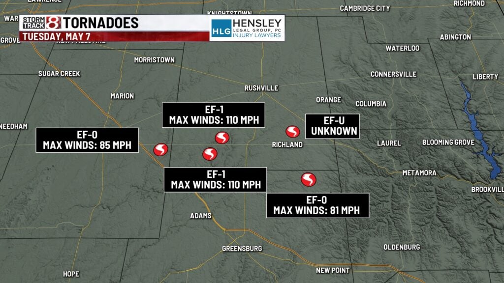
5 tornadoes in Decatur, Rush and Shelby counties
The weather service office at Indianapolis on Wednesday afternoon confirmed five tornadoes in Decatur, Rush and Shelby counties, located southeast of Indianapolis.
- EF-0: Far eastern Shelby County; 7:31-7:33 p.m.; 85 mph winds.
- EF-1: Southwestern Rush County; 110 mph max winds.
- EF-1: Southwestern Rush County; 110 mph max winds.
- EF-U: Southeastern Rush County; unknown max winds.
- EF-0: Northeastern Decatur County; 81 mph max winds.
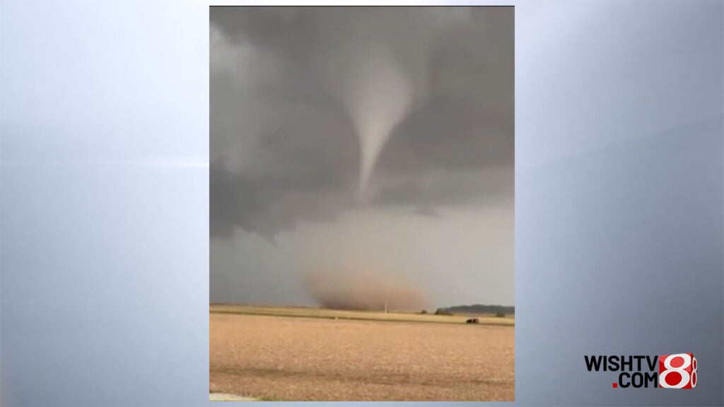
Storm Track 8 has a video of a tornado on the Rush County/Decatur County line.
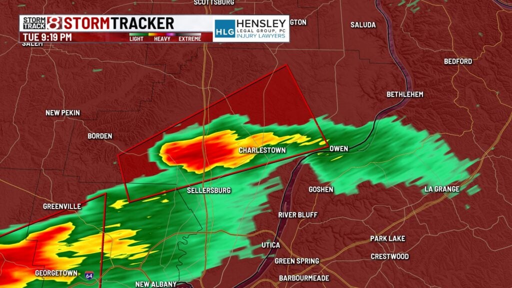
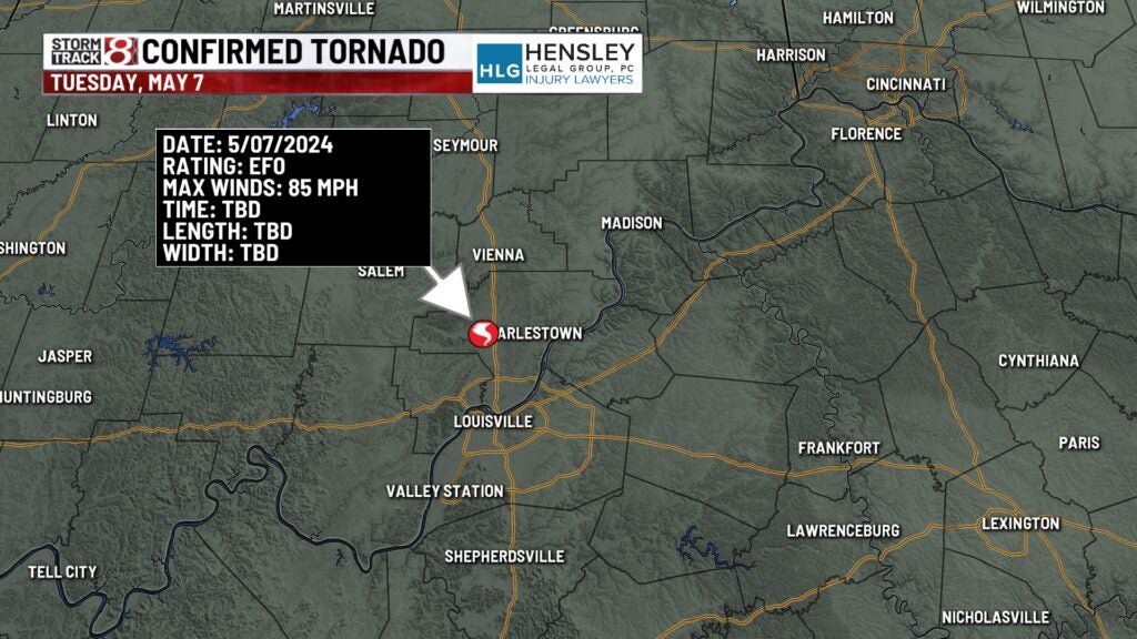
Clark County tornado
Shortly after 9 p.m. Tuesday, this cell produced an EF-0 tornado with 85 mph winds in this area. Maximum winds have been determined to be 85 mph, but this is a preliminary rating. The weather service at Louisville will narrow down the details of the track over the next few days.
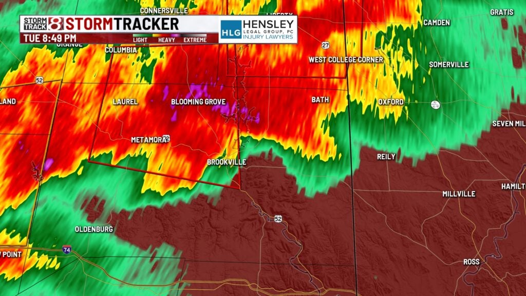
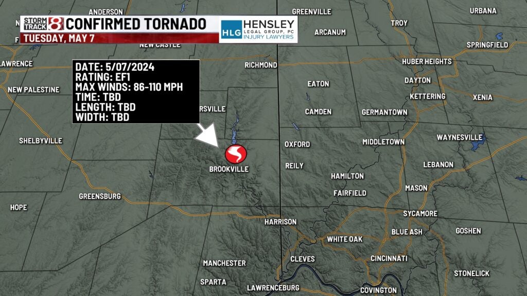
Franklin County tornado
The weather service office in Wilmington, Ohio determined EF-1 damage happened north and east of Brookville. No other information has been released as of midafternoon Wednesday as the storm survey teams try to determine if this tornado was on the ground in Ohio. EF-1 damage is consistent with wind speeds of 86-110 mph.
Any additional details released from the weather service will be added to this web story.