
Wet Friday, then tracking more active weather potential going into next week
INDIANAPOLIS (WISH) — We got to enjoy a mild 50 degree day with breezy winds out of the southwest. Now, we’ll have to turn towards dealing with a chilly rain to end the workweek.
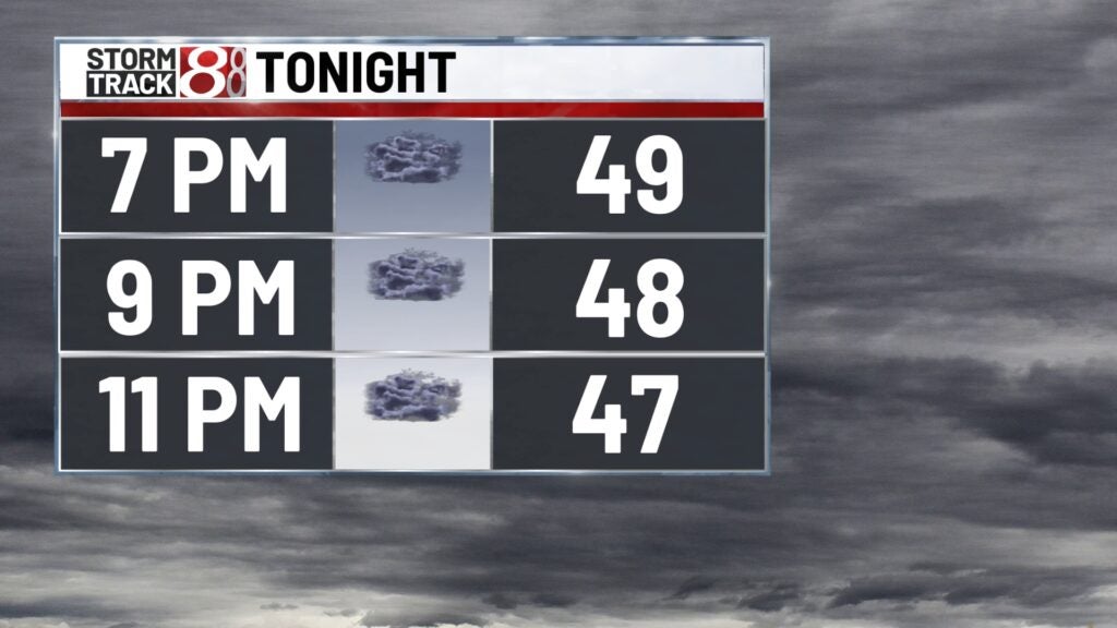
Thursday night: Scattered showers will build in for the first half of tonight with lots of cloud cover in our area. This also means that we will be unable to see the northern lights as there won’t be any solid clearing. By the first few hours of Friday, widespread rain will arrive.


Lows will fall into the low 40s.

Friday: The rain gear will be needed as you head out the door with widespread rain continuing through sunrise. The bulk of this rain will shift out of central Indiana by mid to late morning. Periodic light showers will then be possible for the remainder of the day.


Expect rainfall totals to be roughly from 0.25″-0.75″ mainly for this entire event.

One thing that is interesting with Friday’s forecast is that the warmest temperatures of the day will take place after late afternoon and through Friday night. Highs will be in the low 50s. Winds will also be breezy at times.


Weekend: We’ll briefly dry out Saturday with lots of cloud cover sticking around. Highs Saturday will creep into the low 50s. Another system looks to roll in Sunday with scattered shower potential. Despite the rain chance, highs will find their way back in the low 50s.

8-Day Forecast: After Sunday’s system, a short-term cooldown will take place with highs going from the upper 40s Monday to the low 40s Wednesday. We could have an additional system Tuesday into Tuesday night bring more rain chances and even a shot for wintry precip. The pattern beyond this extended forecast is showcasing potential for above normal temperatures as we head into the weekend of Dec 9.
