


Windy with rain Saturday, much colder into next week

INDIANAPOLIS (WISH) — Despite a lack of sunshine throughout our Friday, we still got to enjoy mild temperatures with breezy winds out of the south. Now, we will track our next system for Saturday with even stronger winds getting into the mix before much colder air flies back into the picture.
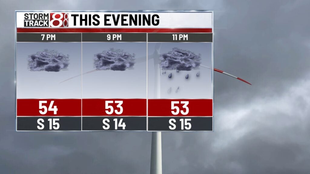
Friday night: Tonight will be our warmest night in this extended forecast due to cloud cover and continuing breezy winds out of the south. There is potential for scattered drizzle/showers overnight.


Lows will only settle down into the low 50s.

Saturday: On and off scattered showers will persist into a good chunk of our Saturday morning. By Saturday afternoon and evening, we’ll watch rain turn more widespread with the greatest chance for heavy rain in far southeastern Indiana. Models have been trending more east with higher rain total potential. Central Indiana will still be in the mix with some rain for the second half of Saturday, but it’s not looking too impressive. A few storms will also be possible south of a Richmond-Bloomington line mainly. Severe weather is not expected in central Indiana as well.


Highs look to occur early Saturday afternoon with numbers peaking in the upper 50s to low 60s. Temperatures will drop into the 40s shortly after sunset. One important thing to note is that winds will be fairly strong in the first half of Saturday with gusts over 30 MPH at times.


Sunday: Saturday’s system will usher in much colder air for Sunday with breezy winds out of the northwest. It is possible for there to be some rain and light snow showers during the day. Highs will struggle to warm into the upper 30s to low 40s.

8-Day Forecast: We’ll stay cold into the start of the new workweek next week with highs only in the upper 30s. Temperatures will then moderate throughout the remainder of the week with numbers in the mid 40s mainly. Next week also looks mainly dry.
