Active weather pattern through midweek
INDIANAPOLIS (WISH) — A beautiful Monday afternoon will lead to more rain chances going into your Tuesday.
Monday night:
We will see clouds increase overnight with a few isolated showers possible after sunset. Lows will bottom out in the mid 50s.


Tuesday:
Showers are expected on and off throughout your Tuesday. Although it will be the warmest day of the work week, expect gusty winds during the day.


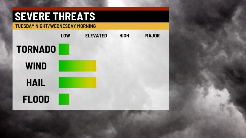
We have a Slight Risk of severe weather for storms that look to move through central Indiana in the nighttime hours. Main threats are damaging winds and large hail, but an isolated tornado is not out of the question.

Highs will top out in the mid 70s.

Wednesday:
Keep the rain gear in handy as spotty showers and storms are possible. The afternoon hours look to have brief dry time.


Highs top out in the low 70s as we will remain mild.

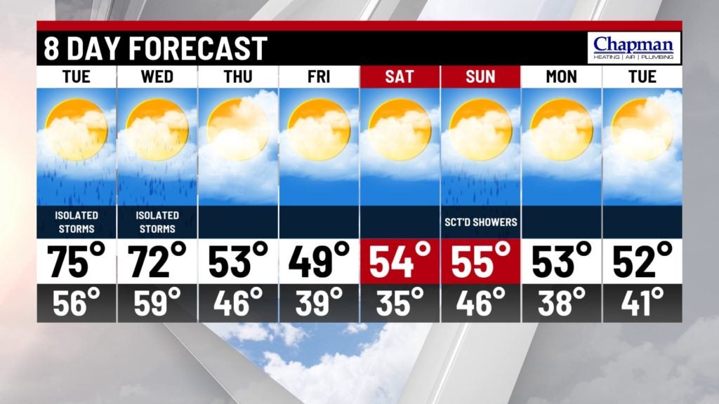
8 Day Forecast:
As rain chances diminish by Thursday, our temperatures will also cool off into the 50s. Dry conditions continue until the weekend with more rain chances. High temperatures look to stay just below average in the 50s.