


Timing out showers today, another patchy frost on the horizon
INDIANAPOLIS (WISH) — Light sprinkles are ongoing in north-central Indiana, but we will have more on the way this afternoon.
TODAY: Winds will pick up through the lunchtime hours. Gusts up to 30 mph could occur as our cold front approaches the area. Showers and a few rumbles of thunder become more widespread stretching from the mid-afternoon into the evening hours. High temperatures into the low and mid-60s.


TONIGHT: Mostly cloudy skies remain with showers pushing off to the south and east. Low temperatures in the 40s.

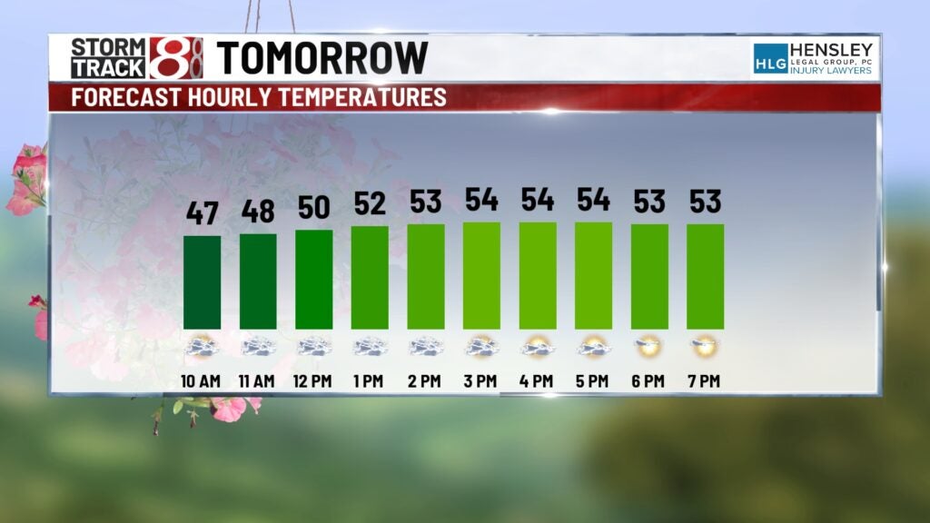
TOMORROW: Clouds will linger around for parts of Wednesday. We should see more breaks in them for the afternoon hours. High temperatures in the upper 50s. Wednesday night into Thursday morning another patchy frost is possible.
8-DAY FORECAST: A big warm-up is on the way! Daily rain chances begin Friday and last through the weekend. We don’t anticipate the weekend to be a complete washout. Indiana is not in any severe risk just yet, but it wouldn’t be a shock if Indiana is included in one at some point during this stretch. High temperatures on Sunday get into the 80s.
