


Damp Friday ahead, staying above normal with additional rain next week

INDIANAPOLIS (WISH) — The forecast played out exactly the way we talked about with Thursday becoming our warmest day of 2024. Now, we must bring in more rain to end the workweek.
We’ll also be tracking a continuation of above normal temperatures throughout this forecast.
Thursday night: Cloud and rain coverage will expand overnight tonight.


Lows will be on the mild side once again due to the rain with numbers in the mid 60s.


Friday: Have the rain gear for your morning commute as we expect widespread showers in our area through daybreak. Some rumbles of thunder will also be possible. Rain coverage will gradually drop off a bit from west to east as we get into the afternoon hours. We will still have some scattered small showers to contend with for the rest of the daytime hours.


Highs will only get into the mid 70s as a result of the rain and cloud cover.
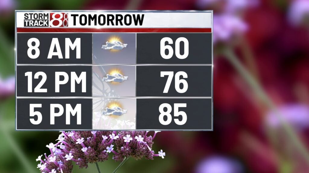

Saturday: We’re looking to dry things out long enough for the 500 Festival Mini-Marathon Saturday morning. Temperatures for the race will range from the low to mid 60s, but it will also be a little humid. Then, we’ll track the chance for a few showers and isolated thunderstorms Saturday afternoon and night.

Highs will push into the upper 70s to low 80s.

8-Day Forecast: Spotty showers and storms will also be possible through Sunday with highs in the mid 70s. Going into the new workweek next week, we’ll increase rain and storm chances starting Monday and carrying into midweek. Highs look to get back into the 80s Monday through Wednesday. In terms of any concerns for stronger storms next Tuesday and Wednesday especially, it is too early to tell. Nonetheless, we’ll keep an eye on how next week’s system evolves.
