


Tracking precip to end the week
INDIANAPOLIS (WISH) — It was not quite as pleasant out there as it had been for our Thursday. Temps were mainly stuck in the low to mid 30s with lots of cloud cover and breezy winds. We are tracking some activity to end the workweek.
Thursday night: Skies will become mostly cloudy ahead of our next weather system. Temperatures will actually slightly rise overnight after lows bottom out in the low 30s.


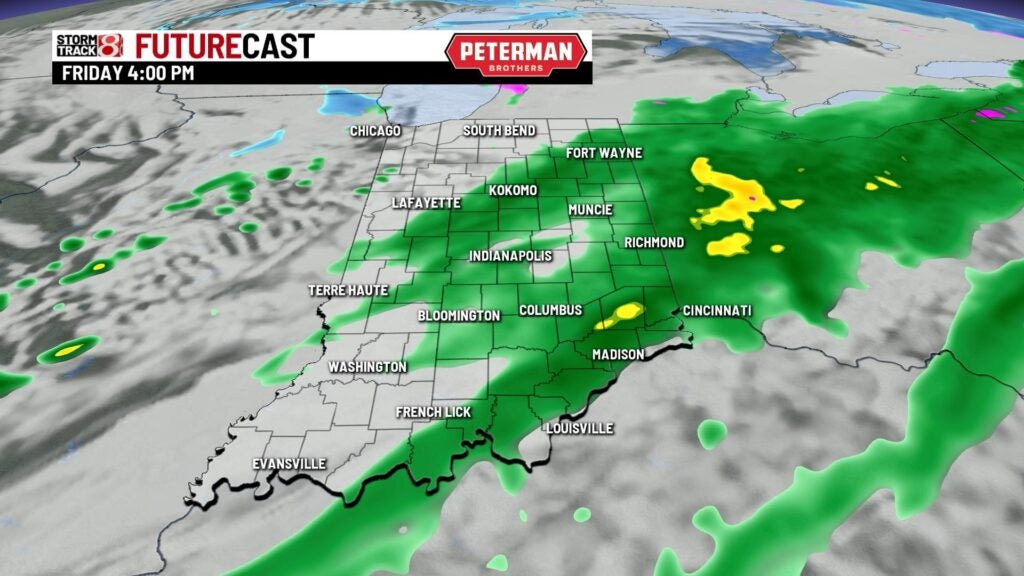
Friday: Expect showers to slide in during the morning commute. Areas off to the far north have the chance to see a rain/snow mix. Additional showers are likely during the afternoon hours.


By late Friday night into early Saturday morning, there could be a few snow showers that get into the mix in our state.


Highs are set to jump back above average as we top out in the low to mid 40s. Winds will become a bit breezy as well with gusts over 25 MPH at times.


Weekend: Lake effect flurries will be possible in mainly in the northern half of the state during the first half of Saturday. It will be roughly 15 to 20 degrees colder for the highs on Saturday with numbers only rising into the mid to upper 20s. Fairly chilly air looks to linger into our Sunday with scattered snow showers possible. Highs will only creep into the mid 20s.

8-Day Forecast: After a cold weekend, a nice warming trend looks to move into the forecast. Highs will gradually climb into the 50s by next Wednesday. This warmup will bring more chances for rain and mix in the latter half of next week.
