


Windy, colder with a few flurries Saturday night
INDIANAPOLIS (WISH) — Rain changes over to a few flurries Saturday night as colder air moves into the state.
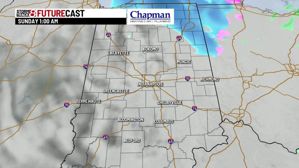
SATURDAY NIGHT: We’ll still see a chance for a few showers early Saturday evening. Colder air filters into the area later, changing any rain over to a few flurries and snow showers. Little to no accumulation is expected.
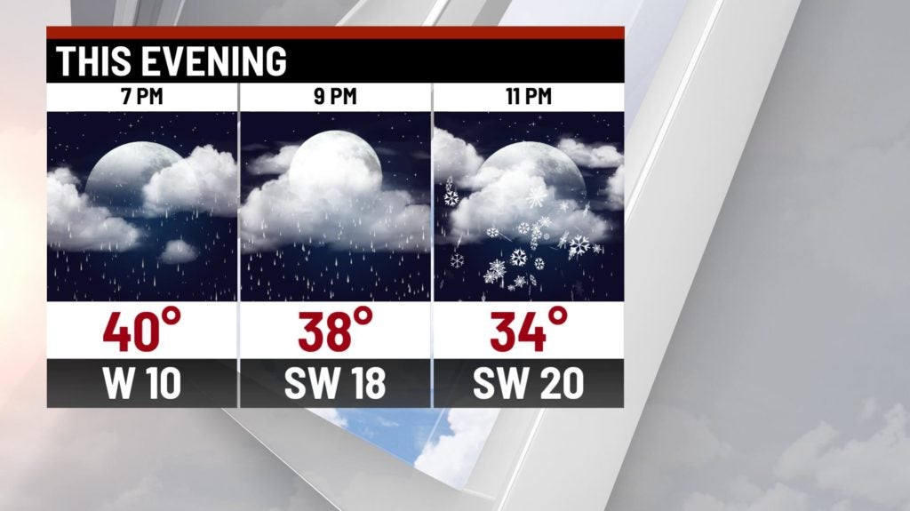

The best chance of seeing snow is north and west of Indianapolis. There may be a few slick spots with all of the rain we’ve seen and temperatures falling below freezing. Winds begin to pick up later Saturday.
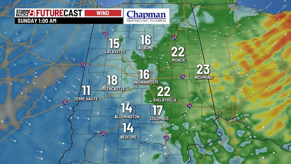
There’s a High Wind Warning in effect from 8 p.m. until Sunday 4 a.m. for eastern parts of the state. Winds may gust close to 50 mph in the warned area. Gusts near Indianapolis may reach 30 mph at times.

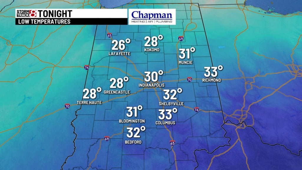
Lows fall into the upper 20s, near 30.
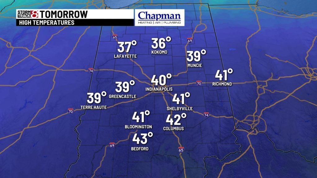
SUNDAY: Skies stay mostly cloudy throughout much of the day. It’s going to be about 20 degrees colder Sunday than it was on Saturday. Highs climb into the upper 30s, close to 40, for the afternoon. Winds die down and will be out of the west at 5-10 mph.

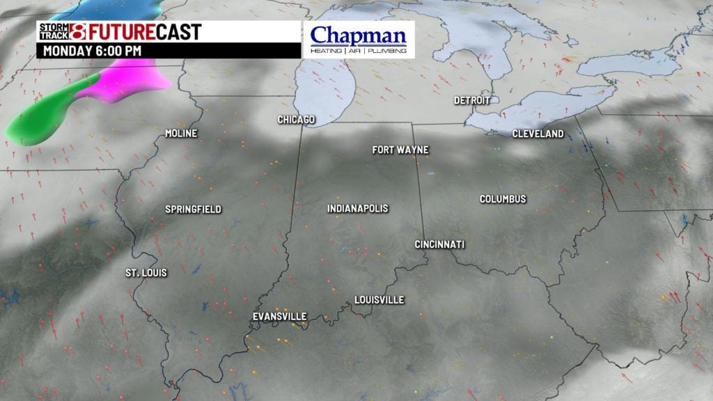
MONDAY: Quiet weather sticks around for the first part of the workweek. Look for partly to mostly cloudy skies on Monday. Highs climb into the middle to upper 40s during the day.
8-DAY FORECAST: Temperatures climb back into the middle 50s on Tuesday and Wednesday. Look for lots of clouds both days with a chance for a few showers late Wednesday. Temperatures fall back into the 30s for the rest of the week, with a couple of chances for rain or snow. It looks like a storm system will head this way Friday and Saturday, bringing us a good chance for rain and snow. Colder temperatures follow this system.
