


Rain chances to increase, chilly air to follow
INDIANAPOLIS (WISH) — We worked in a warm fall day for our Wednesday with increasing cloud cover across the state. Rain and storm chances are set to ramp up for the remainder of the week before we make a return to fall like weather.
Wednesday night: A mostly cloudy and warmer night is ahead statewide. We can’t out a few spotty showers. Lows will only dip into the mid 60s.


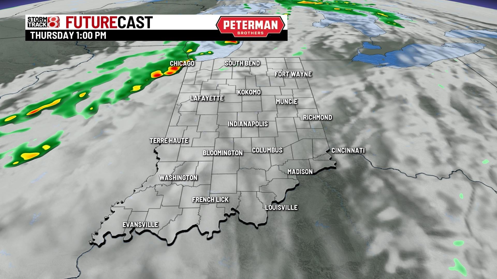
Thursday: A mainly dry start to our Thursday is expected. Isolated showers will continue to be possible before coverage increases near and after sunset.


The warm weather trend will linger on as we rise into the upper 70s.


Friday: Have the rain gear on hand as we are tracking a wet Friday on deck. Several rounds of showers and storms are likely throughout the day.


There is even the threat for isolated strong to severe storms for most of the state Friday afternoon and evening. Isolated damaging wind gusts will be the primary hazard.

It will be a slightly cooler afternoon due to the rain and storms with highs topping out in the low to mid 70s.

8-Day Forecast: As Friday’s system moves out of the state, we will make a transition to fall weather for the weekend. Expect a breezy and chilly Saturday with highs struggling to get out of the 50s. Temperatures will gradually rebound through Sunday and into the first half of next week. Extended dry time looks to settle in place after Friday.
