


Temperatures to rebound after freeze warning
INDIANAPOLIS (WISH) — Central Indiana has been on autopilot mode for the most part since Wednesday in relation to cold temperatures, scattered showers, and breezy winds.
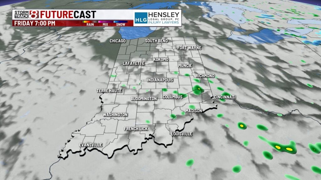
A stalled-out low-pressure system to the north has caused the conditions. That system will finally depart Friday night and lead to temperatures rebounding. However, more rain chances are ahead.
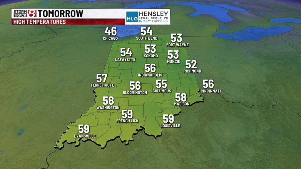
Friday night: Expect skies to clear out, causing a colder night with widespread frost developing. Patchy fog will also form during the overnight hours too. A freeze warning will be in effect from 2 a.m.-10 a.m. Saturday due to most locations falling into the upper 20s for the low temperature.


Saturday: After enduring a cold start, expect the reward of a bright and warmer day. Winds will stay light from the north and not cause a big influence in the forecast. Highs look to get into the mid 50s with dry air taking over.

Sunday: The aforementioned dry air will not last long as another system will arrive. Scattered showers and perhaps some storms are possible in the afternoon and night.
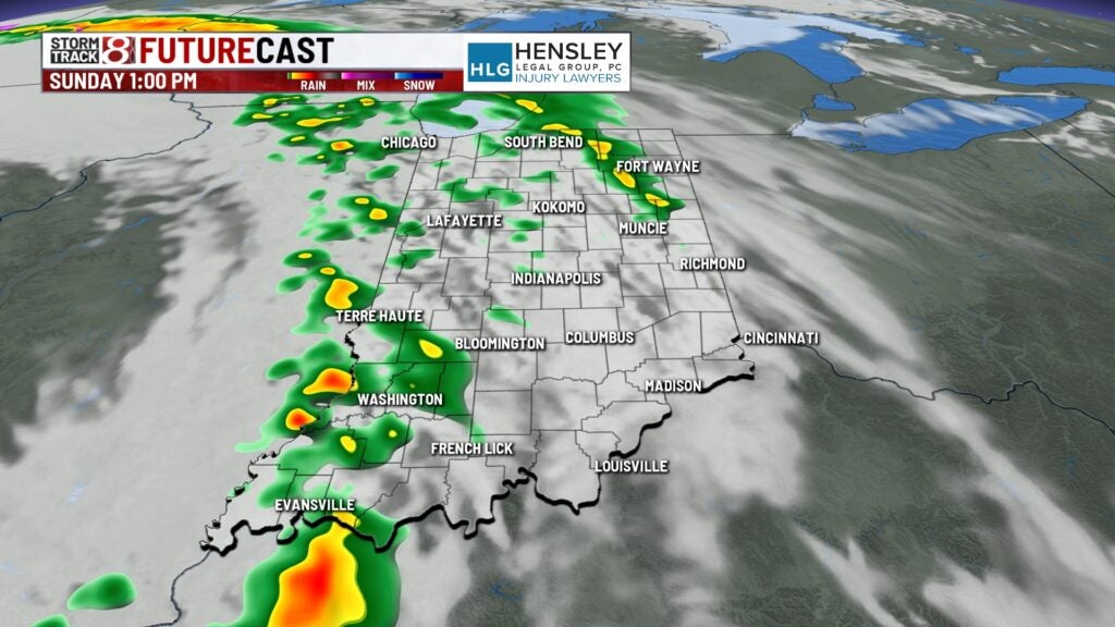


There is a potential for isolated stronger storms Sunday evening and night with wind and hail as the main concerns.

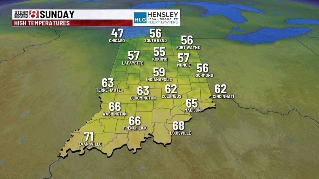
Highs will not quite get out of the mid to upper 50s due to the increased cloud cover and rain.
8-Day Forecast: Monday will start off mostly cloudy before some clouds burn off. It was expected to be partly sunny for the solar eclipse with highs in the low to mid 70s. Then, a series of rain chances will arrive from midweek through late next week. There may also be some thunderstorms as well, but severe weather was not expected.
