Much colder to end the workweek
INDIANAPOLIS (WISH) — What a fantastic Thursday we had in the middle of January! Temperatures were near or just above 50° for the southern half of the state while locations to the far north stayed much cooler.
Thursday night: Clouds will be on the increase tonight as temperatures will plummet into the low to mid 20s. With a light breeze, the feels like temperature will be in the teens.


Friday: After a spectacular Thursday, the reality of winter settles back in for our Friday. Much colder air will sink into the state with a light breezy wind out of the northwest. Skies will become mostly clear by the afternoon hours.


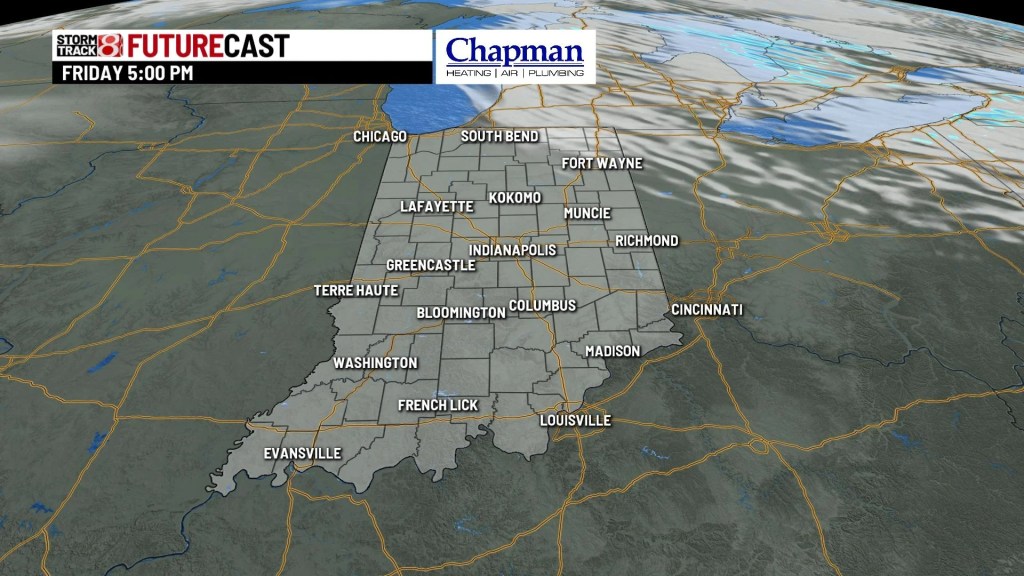
Temperatures will struggle as we will only top out in the upper 20s to mid 30s. Northern Indiana’s highs will only be in the mid to upper 20s while locations in southern Indiana could climb into the mid 30s.


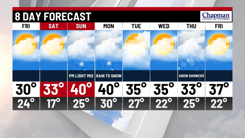
Weekend: Saturday will be a slightly warmer day with abundant sunshine. Highs will rise into the low to mid 30s across most of the state. Sunday sets the return of precipitation as our next system begins to move in from the west. A wintry mix is possible Sunday afternoon and night.

8 Day Forecast: Mixed precipitation chances will continue through Monday before the activity winds down by Tuesday. Snow shower chances look to return by next Thursday. Highs will push to around the 40° mark before we settle to near average temperatures for the rest of the week.