


Short warm-up, then active weather returns
INDIANAPOLIS (WISH) — Although we had another cold and breezy day, we got to work in more sunshine for mainly the eastern half of the state. The western half of the state remained stuck with the cloud cover.
Tuesday night: We will have an average winter night on tap under mostly cloudy skies. Lows will dip into the upper teens to low 20s.


Wednesday: The sunshine will stick around through our Wednesday as the winds will finally subside a bit. Highs will top out in the mid 30s for what will be a calm and dry day.


Thursday: Activity will pick back up for our Thursday as a system will bring the chance for rain showers across a good portion of the state. There is the possibility for mixed precipitation to get involved at times.


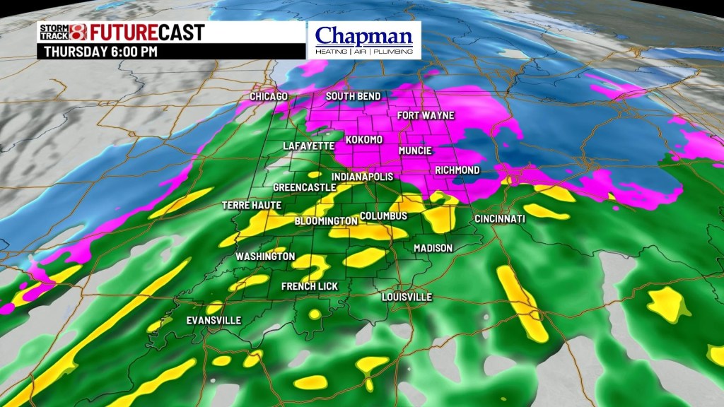
By the late night hours, we could see some backside snow showers.


Highs will crest into the upper 30s to low 40s.


8 Day Forecast: Snow chances will linger through the weekend as a potent arctic air mass swings down into Indiana by Sunday. This looks to be our coldest air in at least two years, and wind chill values will likely be below zero at times through Sunday and Monday. We will attempt to get out of the teens for the highs by midweek next week.
