Warmer Sunday, rain moves in Sunday night
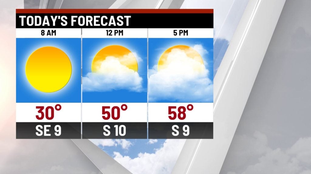
INDIANAPOLIS (WISH) — A large leap in our temperatures should send highs to near 60° this afternoon. We’re tracking showers moving in for the overnight hours.
Sunday:
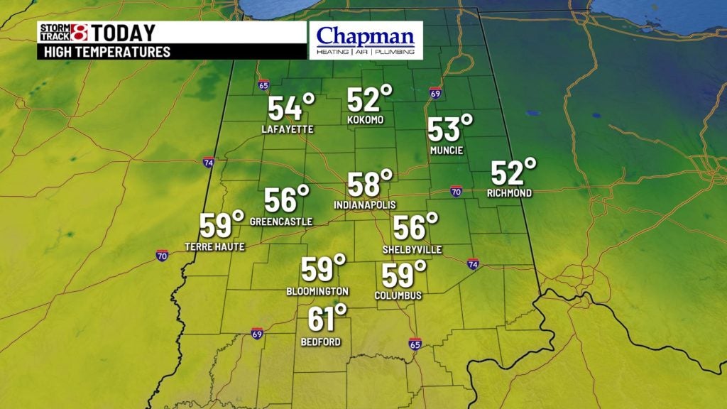
Right on schedule, temperatures will take a significant jump as we open up the month of March. Morning sunshine will give way to mostly cloudy skies this afternoon. Highs will top out in the middle and upper 50s this afternoon.
Sunday Night:
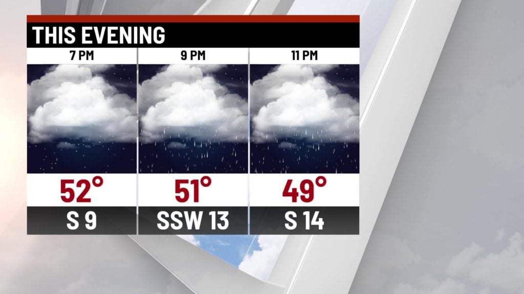
A storm complex will arrive across the Midwest. You can expect scattered showers to move in for the mid evening hours, and hang around for much of the overnight.


There will be some hints of some elevated instability – so the possibility of a few rumbles of thunder will be possible during the overnight hours.

Lows will fall to the middle and upper 40s.
Monday:
A cold front will be pushing through the state during the day. Ahead of it will be our best rain chances – likely for the morning/early afternoon hours. Once the front moves through, showers should quickly diminish from northwest to southeast.


Rainfall should be anywhere betwen 0.3″-0.8″, with higher amounts more likely in the southern third of the state.

Highs on Monday should hit the upper 40s and lower 50s.


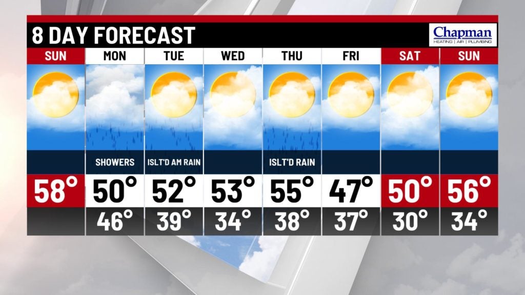
8-Day Forecast:
Some leftover showers may be possible in the morning hours of Tuesday, with another low chance of precipitation possible late Thursday. Temperatures should remain pretty mild, with mostly lower 50s on schedule through the end of next weekend.