


Wintry mix chance ahead Tuesday morning, stretch of sunshine to follow
INDIANAPOLIS (WISH) — Today was about as average of a late-January day here in central Indiana. We’ve been watching clouds clearing from the west the past couple of hours, which will open for some clearing here too through part of tonight.
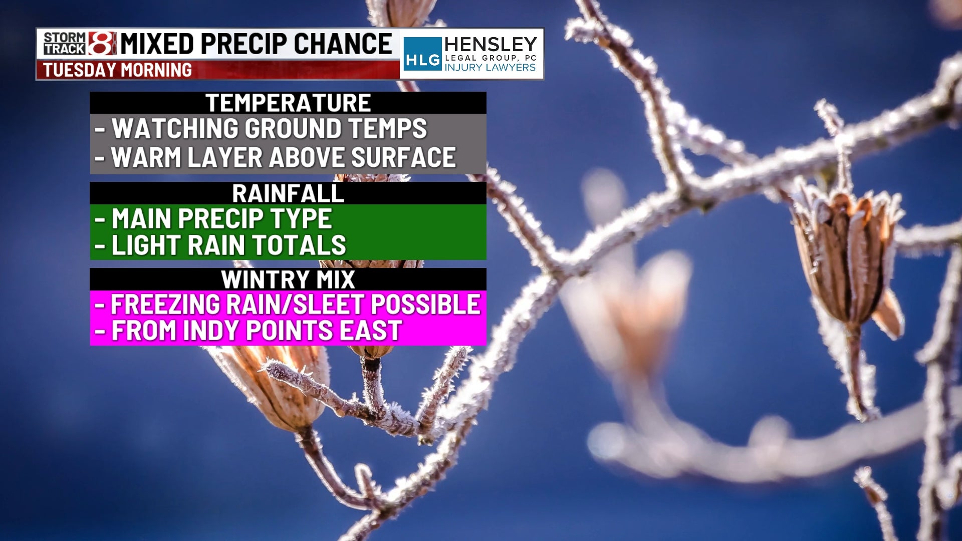
We’ll be tracking a wintry mix chance for Tuesday morning before we finally get in some consistent sunshine.
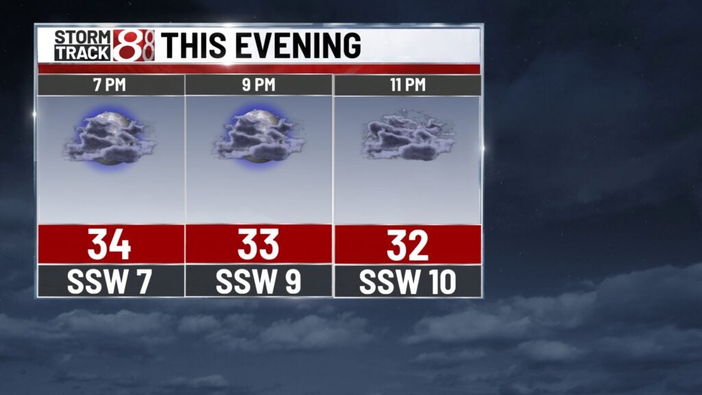
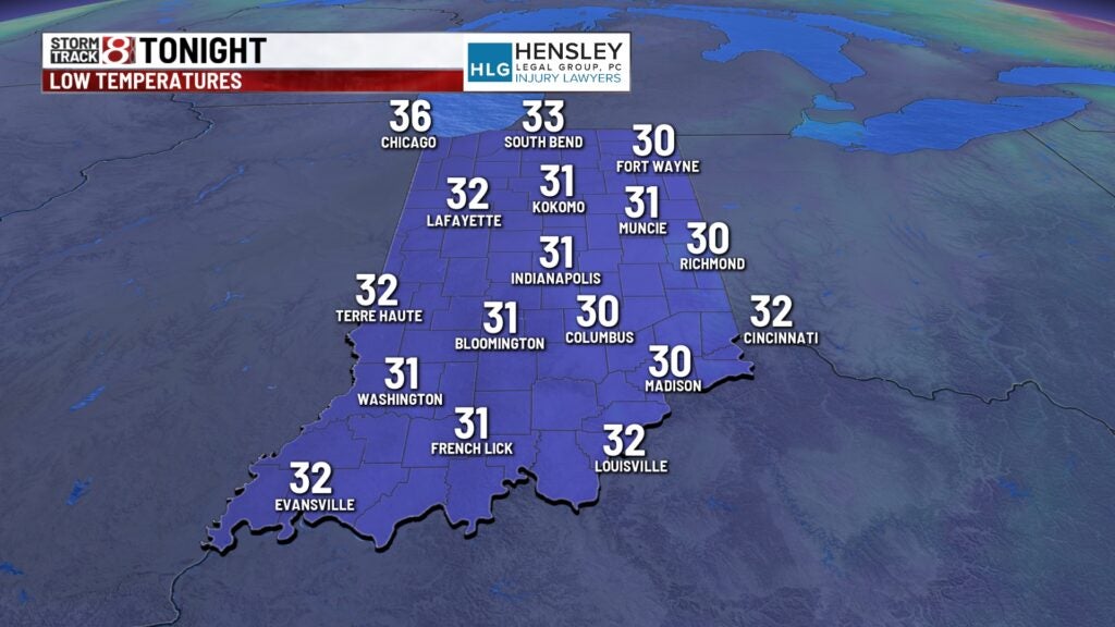
Monday night: Skies will turn partly cloudy to start tonight. Then, cloud cover will fill back in completely during the overnight hours ahead of Tuesday morning’s precip. Lows will fall into the low to mid 30s.
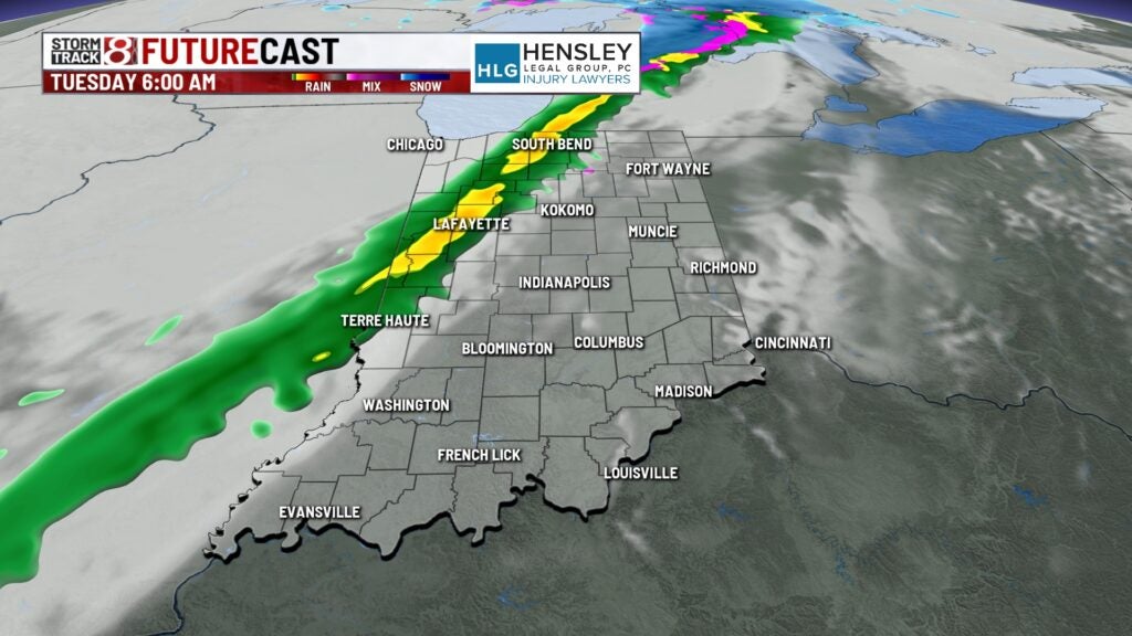
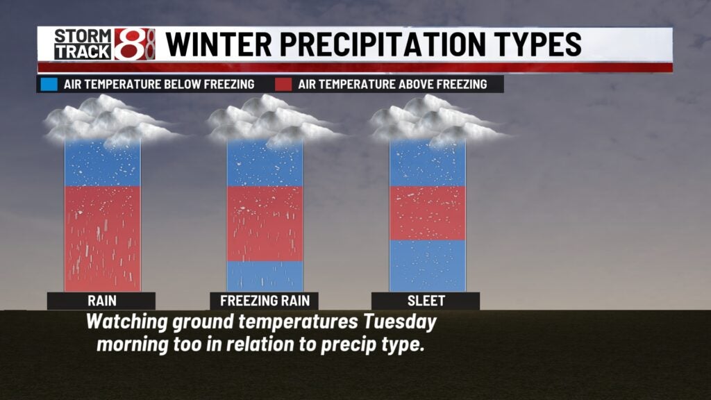
Tuesday: Expect a damp start to Tuesday with a narrow band of rain swinging down from the northwest. There is the potential for some freezing rain/sleet to mix in from Indy and points east. Ground temperatures will be critical in determining precipitation type. If icy spots form, they will be isolated and confined to untreated surfaces. Snow accumulations will be very little to none for eastern Indiana. By mid to late morning, some snow may also mix in mainly east of Indy.
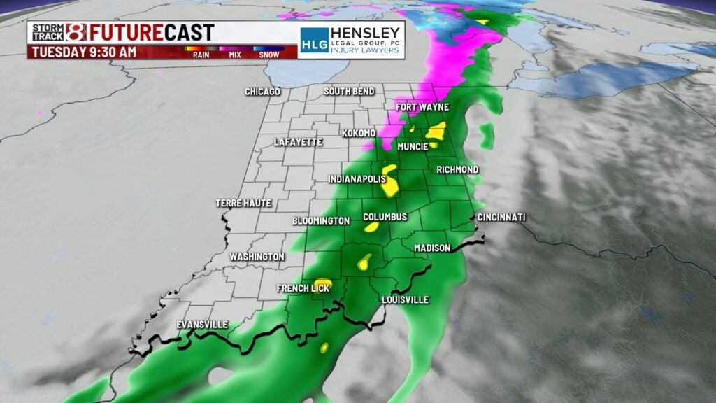
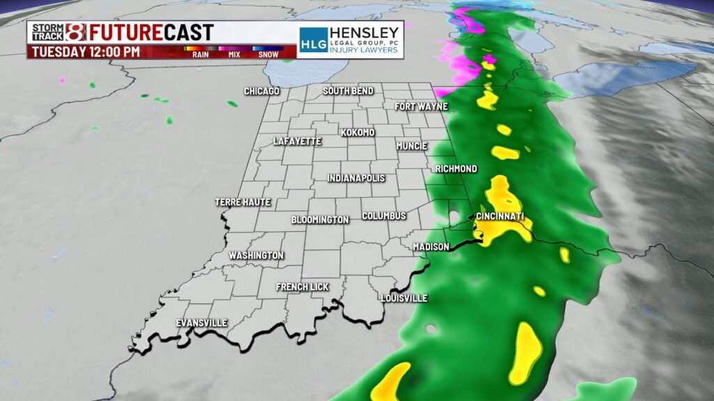
For the remainder of Tuesday, we’ll keep isolated to scattered light drizzle/flurries around across central Indiana.


Highs will top out in the upper 30s. It will also be a tad breezy for much of Tuesday.


Wednesday: After several days in a row of dealing with cloud cover during all of the daytime hours, we’ll get our shot at breaking up some of the clouds throughout Wednesday. Overall, we’re looking at a mostly cloudy and warmer day with highs getting into the low to mid 40s.

8-Day Forecast: Temperatures will warm further into the 50s for Thursday to start February with plenty of sunshine and breezy winds out of the southwest. Clouds will build back in a little bit for Friday, but we’ll still have some sun. Highs will cool down slightly going into the first weekend of February with numbers in the mid 40s.
